| East Twin Swallet | |
|---|---|
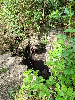
 East Twin Swallet entrance. | |
 | |
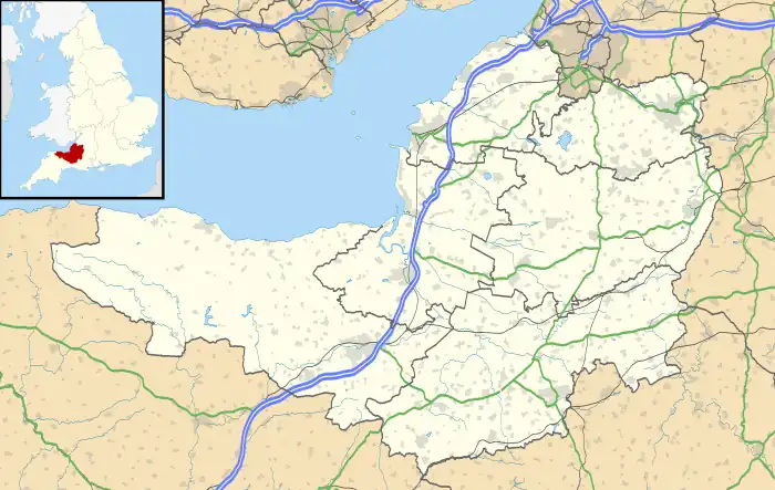
| Location | Burrington Combe, Somerset, UK |
| OS grid | ST47955814 |
| Coordinates | 51°19′12″N 2°44′54″W / 51.32002°N 2.74825°W |
| Depth | 38 metres (125 ft) |
| Length | 150 metres (490 ft) |
| Geology | Limestone |
| Entrances | 1 |
| Hazards | Loose boulders |
| Access | Free |
| Registry | Mendip Cave Registry[1] |
East Twin Swallet also known as Upper Twin Swallet[2] is a karst cave in Burrington Combe on the Mendip Hills in Somerset, England.
The cave is not very stable. The floor is strewn with boulders under which the stream normally flows. The wall sandroof, especially in the upstream portion of the Second Chamber, consist of boulders cemented together with red mud. In the stream passage the mud contains many fossils, mainly crinoids and brachiopods, dissolved out of their limestone matrix. This is a common phenomenon in the caves of the area.[3]
See also
References
- ↑ "East Twin Swallet". Mendip Cave Registry & Archive. Retrieved 11 May 2020.
- ↑ "East Twin Swallet". Mendip Cave Registry & Archive. Retrieved 11 May 2020.
- ↑ "East Twin Swallet, Somerset" (PDF). p. www.ubss.org.uk.
This article is issued from Wikipedia. The text is licensed under Creative Commons - Attribution - Sharealike. Additional terms may apply for the media files.