Eldridge Park, New Jersey | |
|---|---|
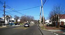
 At the intersection of US 206 and Marlboro Road | |
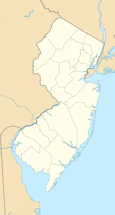
 Eldridge Park, New Jersey Location of Eldridge Park in Mercer County Inset: Location of county within the state of New Jersey  Eldridge Park, New Jersey Eldridge Park, New Jersey (New Jersey)  Eldridge Park, New Jersey Eldridge Park, New Jersey (the United States) | |
| Coordinates: 40°15′55″N 74°44′42″W / 40.26528°N 74.74500°W | |
| Country | |
| State | |
| County | Mercer |
| Township | Lawrence |
| Elevation | 98 ft (30 m) |
| GNIS feature ID | 876142[1] |
Eldridge Park is an unincorporated community located within Lawrence Township in Mercer County, in the U.S. state of New Jersey.[2] The neighborhood is named for Stephen Eldridge, a farm owner in the township in the early 20th century. The neighborhood itself was established in 1906 as a settlement along the Trenton & Princeton Traction Company trolleyline and Lawrence Road (U.S. Route 206) for European immigrants to purchase small houses in the suburbs of Trenton. The growing population led to the construction of the Eldridge Park Elementary School and St. Ann's, the township's first Roman Catholic church.[3][4] As it was in the past, the area is mostly made up of small houses with businesses clustered around US 206.[2]
References
- 1 2 "Eldridge Park". Geographic Names Information System. United States Geological Survey, United States Department of the Interior.
- 1 2 Google (January 9, 2015). "Eldridge Park, New Jersey" (Map). Google Maps. Google. Retrieved January 9, 2015.
- ↑ "Greater Eldridge Park Neighborhood Plan" (PDF). The Bloustein School of Planning and Public Policy. Fall 2009. p. 107. Retrieved December 14, 2015.
- ↑ "How Lawrence Township Became a Suburb" (PDF). Lawrence Historical Society. Retrieved December 14, 2015.
This article is issued from Wikipedia. The text is licensed under Creative Commons - Attribution - Sharealike. Additional terms may apply for the media files.
