Emiliano Zapata | |
|---|---|
| Nickname: Emiliano | |
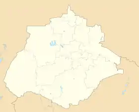
 Emiliano Zapata Location in Mexico  Emiliano Zapata Emiliano Zapata (Mexico) | |
| Coordinates: 22°06′19″N 102°18′00″W / 22.10541°N 102.30008°W | |
| Country | |
| State | Aguascalientes |
| Municipality | Pabellón de Arteaga |
| Elevation | 1,896 m (6,220 ft) |
| Population (2020) | |
| • Total | 3,316 |
Colonia Emiliano Zapata or simply Emiliano Zapata, is a community in the municipality of Pabellón de Arteaga,[1] it is located in the coordinates 22°06′19″N 102°18′00″W / 22.10541°N 102.30008°W, in the western part of the municipality, it has a population of 3,316 inhabitants during the 2020 Mexico Census.[2]
References
- 1 2 "EMILIANO ZAPATA". mipueblo.mx (in Spanish). Retrieved 7 May 2022.
- ↑ "Emiliano Zapata (Pabellón de Arteaga, Aguascalientes)". pueblosamerica.com. Retrieved 7 May 2022.
This article is issued from Wikipedia. The text is licensed under Creative Commons - Attribution - Sharealike. Additional terms may apply for the media files.