Eringsboda | |
|---|---|
 Eringsboda 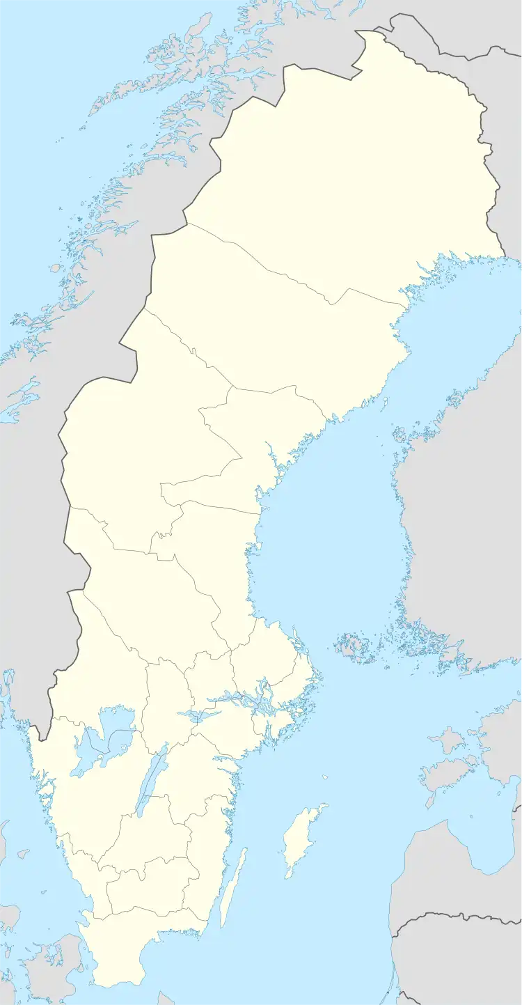 Eringsboda | |
| Coordinates: 56°26′N 15°21′E / 56.433°N 15.350°E | |
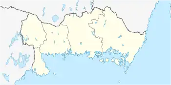
| Country | Sweden |
| Province | Blekinge |
| County | Blekinge County |
| Municipality | Ronneby Municipality |
| Area | |
| • Total | 0.65 km2 (0.25 sq mi) |
| Population (31 December 2010)[1] | |
| • Total | 299 |
| • Density | 459/km2 (1,190/sq mi) |
| Time zone | UTC+1 (CET) |
| • Summer (DST) | UTC+2 (CEST) |

Church
Eringsboda (Swedish pronunciation: [ˈêːrɪŋsˌbuːda])[2] is a locality situated in Ronneby Municipality, Blekinge County, Sweden with 299 inhabitants in 2010.[1] On 21 December 1910, a railway was opened between Eringsboda and Älmeboda. This railway was in practice an extension of the preexisting one from Nättraby to Eringsboda, and as such the former's owner merged into that of the Nättraby–Eringsboda railway the following year.[3]
References
- 1 2 3 "Tätorternas landareal, folkmängd och invånare per km2 2005 och 2010" (in Swedish). Statistics Sweden. 14 December 2011. Archived from the original on 2012-01-27. Retrieved 10 January 2012.
- ↑ Sahlgren, Jöran; Bergman, Gösta (1979). Svenska ortnamn med uttalsuppgifter [Swedish place names with pronunciation data] (in Swedish). p. 7.
- ↑ "Nettraby—Alnaryd—Elmeboda järnväg" [The Nättraby—Alnaryd—Elmeboda railway]. Nordisk familjebok (in Swedish). Vol. 20 (Owl ed.). 1914 – via Project Runeberg.
This article is issued from Wikipedia. The text is licensed under Creative Commons - Attribution - Sharealike. Additional terms may apply for the media files.