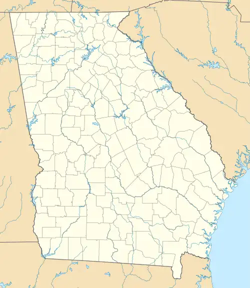
Fairfield Plantation, Georgia | |
|---|---|
 Fairfield Plantation  Fairfield Plantation | |
| Coordinates: 33°38′37″N 84°55′33″W / 33.64361°N 84.92583°W | |
| Country | |
| State | Georgia |
| County | Carroll |
| Area | |
| • Total | 4.51 sq mi (11.69 km2) |
| • Land | 4.11 sq mi (10.65 km2) |
| • Water | 0.40 sq mi (1.03 km2) |
| Elevation | 1,140 ft (350 m) |
| Population (2020) | |
| • Total | 4,898 |
| • Density | 1,190.57/sq mi (459.73/km2) |
| Time zone | UTC-5 (Eastern (EST)) |
| • Summer (DST) | UTC-4 (EDT) |
| ZIP Code | 30180 (Villa Rica) |
| Area code(s) | 770/678/470 |
| FIPS code | 13-28440 |
| GNIS feature ID | 2812672[2] |
Fairfield Plantation is an unincorporated community and census-designated place in eastern Carroll County, Georgia, United States. It is a community situated around a golf course and reservoir (Treasure Lake), 8 miles (13 km) south of Villa Rica and 38 miles (61 km) west of Atlanta. Fairfield Plantation was created as a Planned Unit Development in the 1970s. The population as of the 2020 census is 4,898.[3]
The community was first listed as a CDP prior to the 2020 census.
Demographics
| Census | Pop. | Note | %± |
|---|---|---|---|
| 2020 | 4,898 | — | |
| U.S. Decennial Census[4] 2020[5] | |||
2020 census
| Race / Ethnicity | Pop 2020[5] | % 2020 |
|---|---|---|
| White alone (NH) | 3,795 | 77.48% |
| Black or African American alone (NH) | 563 | 11.49% |
| Native American or Alaska Native alone (NH) | 14 | 0.29% |
| Asian alone (NH) | 41 | 0.84% |
| Pacific Islander alone (NH) | 2 | 0.04% |
| Some Other Race alone (NH) | 26 | 0.53% |
| Mixed Race/Multi-Racial (NH) | 221 | 4.51% |
| Hispanic or Latino (any race) | 236 | 4.82% |
| Total | 4,898 | 100.00% |
References
- ↑ "2020 U.S. Gazetteer Files". United States Census Bureau. Archived from the original on March 18, 2021. Retrieved December 18, 2021.
- 1 2 "Fairfield Plantation Census Designated Place". Geographic Names Information System. United States Geological Survey, United States Department of the Interior.
- ↑ "Fairfield Plantation CDP, Georgia". United States Census Bureau. Archived from the original on April 13, 2022. Retrieved March 13, 2022.
- ↑ "Decennial Census of Population and Housing by Decades". US Census Bureau. Archived from the original on July 6, 2022.
- 1 2 "P2 HISPANIC OR LATINO, AND NOT HISPANIC OR LATINO BY RACE – 2020: DEC Redistricting Data (PL 94-171) – Fairfield Plantation CDP, Georgia". United States Census Bureau. Archived from the original on April 13, 2022. Retrieved April 13, 2022.
This article is issued from Wikipedia. The text is licensed under Creative Commons - Attribution - Sharealike. Additional terms may apply for the media files.
