Flurkmark | |
|---|---|
 Flurkmark 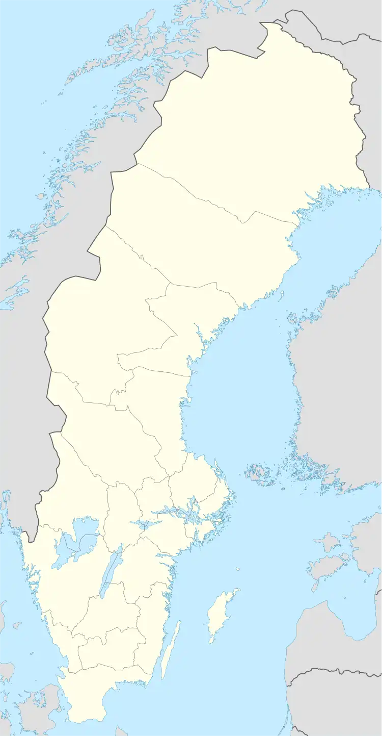 Flurkmark | |
| Coordinates: 63°59′N 20°15′E / 63.983°N 20.250°E | |
| Country | Sweden |
| Province | Västerbotten |
| County | Västerbotten County |
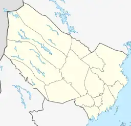
| Municipality | Umeå Municipality |
| Area | |
| • Total | 0.53 km2 (0.20 sq mi) |
| Population (31 December 2010)[1] | |
| • Total | 291 |
| • Density | 549/km2 (1,420/sq mi) |
| Time zone | UTC+1 (CET) |
| • Summer (DST) | UTC+2 (CEST) |
Flurkmark is a locality situated in Umeå Municipality, Västerbotten County, Sweden with 291 inhabitants in 2010.[1]
References
- 1 2 3 "Tätorternas landareal, folkmängd och invånare per km2 2005 och 2010" (in Swedish). Statistics Sweden. 14 December 2011. Archived from the original on 27 January 2012. Retrieved 10 January 2012.
This article is issued from Wikipedia. The text is licensed under Creative Commons - Attribution - Sharealike. Additional terms may apply for the media files.