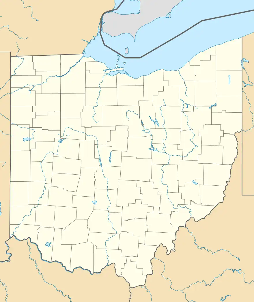
Fly, Ohio | |
|---|---|
 Sistersville Ferry at Fly | |
 Fly, Ohio | |
| Coordinates: 39°33′53″N 81°00′30″W / 39.56472°N 81.00833°W | |
| Country | United States |
| State | Ohio |
| County | Monroe |
| Elevation | 692 ft (211 m) |
| Time zone | UTC-5 (Eastern (EST)) |
| • Summer (DST) | UTC-4 (EDT) |
| Area code(s) | 740 & 220 |
| GNIS feature ID | 1075863[1] |
Fly is an unincorporated community in Jackson Township, Monroe County, in the U.S. state of Ohio.[1] The community is at the intersection of routes 7 and 800 adjacent to the Ohio River. The city of Sistersville, West Virginia lies across the river to the southeast and is accessed via ferry across the river.[2]
History
A post office called Fly was established in 1886, and remained in operation until 1995.[3] It is said that the townspeople selected the name Fly on account of its brevity.[4]
References
- 1 2 U.S. Geological Survey Geographic Names Information System: Fly, Ohio
- ↑ New Matamoras, Ohio, 7.5 Minute Topographic Quadrangle, USGS, 1994
- ↑ "Post offices". Jim Forte Postal History. Archived from the original on October 13, 2015. Retrieved June 9, 2016.
- ↑ Overman, William Daniel (1958). Ohio Town Names. Akron, OH: Atlantic Press. p. 45.
This article is issued from Wikipedia. The text is licensed under Creative Commons - Attribution - Sharealike. Additional terms may apply for the media files.
