Friese Buurt | |
|---|---|
Hamlet | |
 Farm in Friese Buurt | |
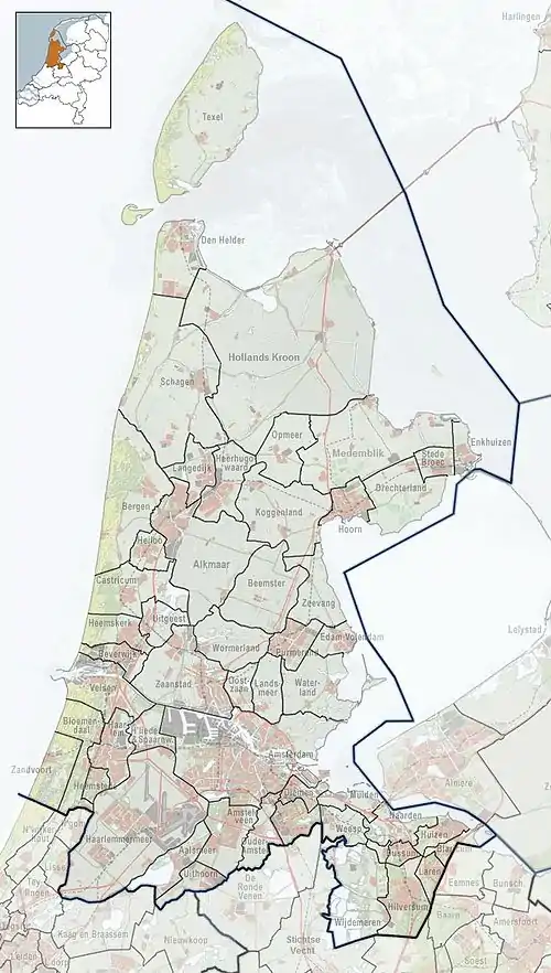
 Friese Buurt Location in the Netherlands  Friese Buurt Location in the province of North Holland | |
| Coordinates: 52°55′18″N 4°46′25″E / 52.92167°N 4.77361°E | |
| Country | Netherlands |
| Province | North Holland |
| Municipality | Den Helder |
| Area | |
| • Total | 1.34 km2 (0.52 sq mi) |
| Elevation | 0.3 m (1.0 ft) |
| Population (2021)[1] | |
| • Total | 95 |
| • Density | 71/km2 (180/sq mi) |
| Time zone | UTC+1 (CET) |
| • Summer (DST) | UTC+2 (CEST) |
| Postal code | 1786[1] |
| Dialing code | 0223 |
Friese Buurt is a hamlet in the Dutch province of North Holland. It is a part of the municipality of Den Helder, and lies about 3 km south of the Den Helder city centre. The name ("Frisian Neighbourhood") refers to the Frisian farmers who moved here after this area was reclaimed from the sea. The place name signs of the hamlet read Den Helder.[3]
References
- 1 2 3 "Kerncijfers wijken en buurten 2021". Central Bureau of Statistics. Retrieved 27 April 2022.
- ↑ "Postcodetool for 1786AG". Actueel Hoogtebestand Nederland (in Dutch). Het Waterschapshuis. Retrieved 27 April 2022.
- ↑ "Friese Buurt". Plaatsengids (in Dutch). Retrieved 27 April 2022.
This article is issued from Wikipedia. The text is licensed under Creative Commons - Attribution - Sharealike. Additional terms may apply for the media files.