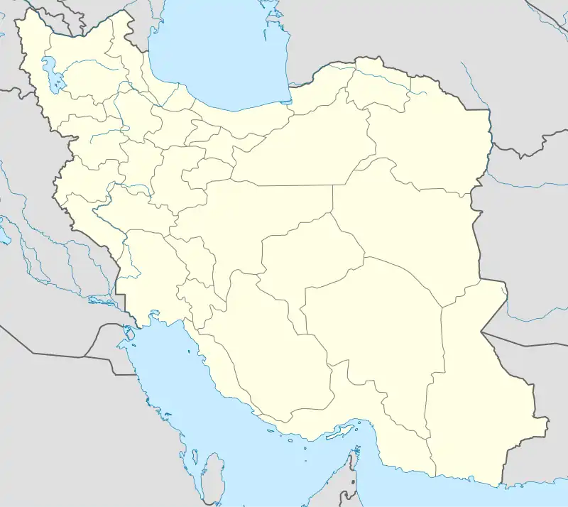
Gavork-e Nalin Rural District
Persian: دهستان گورك نعلين | |
|---|---|
 Gavork-e Nalin Rural District | |
| Coordinates: 36°23′45″N 45°23′40″E / 36.39583°N 45.39444°E[1] | |
| Country | |
| Province | West Azerbaijan |
| County | Mirabad |
| District | Central |
| Capital | Musalan |
| Population (2016)[2] | |
| • Total | 9,958 |
| Time zone | UTC+3:30 (IRST) |
Gavork-e Nalin Rural District (Persian: دهستان گورك نعلين)[3] is in the Central District of Mirabad County, West Azerbaijan province, Iran. Its capital is the village of Musalan.[4]
At the National Census of 2006, its population was 10,682 in 1,682 households,[5] when it was in the former Vazineh District of Sardasht County and administered from the village of Mirabad.[6] There were 10,065 inhabitants in 2,017 households at the following census of 2011.[7] At the most recent census of 2016, the population of the rural district was 9,958 in 2,490 households. The largest of its 51 villages was Savan-e Jadid, with 1,002 people.[2]
In 2022, the district was separated from the county in the establishment of Mirabad County, which was divided into two districts and two rural districts, with Mirabad as its capital and only city.[4]
References
- ↑ OpenStreetMap contributors (22 December 2023). "Gavork-e Nalin Rural District (Mirabad County)" (Map). OpenStreetMap. Retrieved 22 December 2023.
- 1 2 "Census of the Islamic Republic of Iran, 1395 (2016)". AMAR (in Persian). The Statistical Center of Iran. p. 04. Archived from the original (Excel) on 30 August 2022. Retrieved 19 December 2022.
- ↑ Iranian National Committee for Standardization of Geographical Names website (in Persian)
- 1 2 Mokhbar, Mohammad (24 December 1401). "The city of Nelas was separated from Vazineh District and annexed to Sardasht County in West Azerbaijan province". Qavanin (in Persian). Ministry of Interior, Council of Ministers. Archived from the original on 28 September 2023. Retrieved 21 December 2023.
- ↑ "Census of the Islamic Republic of Iran, 1385 (2006)". AMAR (in Persian). The Statistical Center of Iran. p. 04. Archived from the original (Excel) on 20 September 2011. Retrieved 25 September 2022.
- ↑ Mousavi, Mirhossein. "Creation and formation of six rural districts including villages, farms and places in Sardasht County under West Azaebaijan province". Islamic Parliament Research Center of the Islamic Republic of Iran (in Persian). Ministry of Interior, Board of Ministers. Archived from the original on 5 February 2018. Retrieved 21 December 2023.
- ↑ "Census of the Islamic Republic of Iran, 1390 (2011)". Syracuse University (in Persian). The Statistical Center of Iran. p. 04. Archived from the original (Excel) on 20 January 2023. Retrieved 19 December 2022.
