40°53′45″N 45°07′53″E / 40.89583°N 45.13139°E
Getahovit
Գետահովիտ | |
|---|---|
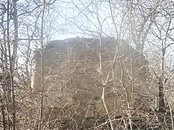 Mijnashen Church near Getahovit | |
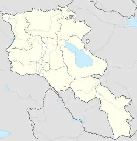 Getahovit 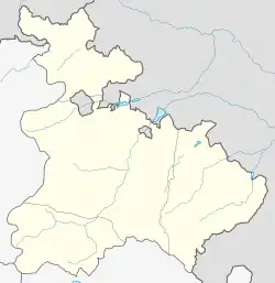 Getahovit | |
| Coordinates: 40°53′45″N 45°07′53″E / 40.89583°N 45.13139°E | |
| Country | Armenia |
| Province | Tavush |
| Municipality | Ijevan |
| Elevation | 835 m (2,740 ft) |
| Population | |
| • Total | 2,123 |
| Time zone | UTC+4 (AMT) |
| Getahovit at GEOnet Names Server | |
Getahovit (Armenian: Գետահովիտ) is a village in the Ijevan Municipality of the Tavush Province of Armenia.
History
References
External links
Wikimedia Commons has media related to Cultural heritage monuments in Getahovit, Tavush.
Capital: Ijevan | ||
| Urban settlements | 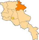 | |
| Berd Municipality | ||
| Dilijan Municipality | ||
| Ijevan Municipality | ||
| Noyemberyan Municipality | ||
This article is issued from Wikipedia. The text is licensed under Creative Commons - Attribution - Sharealike. Additional terms may apply for the media files.