Governor Light | |
|---|---|
village | |
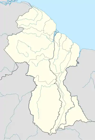
 Governor Light Location in Guyana | |
| Coordinates: 6°27′N 57°47′W / 6.450°N 57.783°W | |
| Country | |
| Region | Mahaica-Berbice |
| Population (2012)[1] | |
| • Total | 11 |
| Time zone | UTC-4 |
| Climate | Af |
Governor Light is a small community in the Mahaica-Berbice Region of Guyana. It stands on the coastal plain, at just one metre above sea-level, along the Mahaicony River, approximately 14 kilometres upstream from its mouth.[2] Governor Light is named after Henry Light, the 3rd Governor of British Guiana.
References
- ↑ "2012 Population by Village". Statistics Guyana. Retrieved 16 August 2020.
- ↑ "MMA fights to save cattle, rice, sugar in face of El Nino". Kaieteur News Online. Retrieved 16 August 2020.
This article is issued from Wikipedia. The text is licensed under Creative Commons - Attribution - Sharealike. Additional terms may apply for the media files.