Gray | |
|---|---|
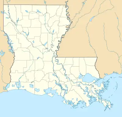
 Gray Location of Gray in Louisiana | |
| Coordinates: 29°40′52″N 90°46′53″W / 29.68111°N 90.78139°W | |
| Country | United States |
| State | Louisiana |
| Parish | Terrebonne |
| Area | |
| • Total | 11.48 sq mi (29.73 km2) |
| • Land | 11.48 sq mi (29.73 km2) |
| • Water | 0.00 sq mi (0.00 km2) |
| Elevation | 10 ft (3 m) |
| Population (2020) | |
| • Total | 5,518 |
| • Density | 480.66/sq mi (185.59/km2) |
| Time zone | UTC-6 (CST) |
| • Summer (DST) | UTC-5 (CDT) |
| ZIP code | 70359[2] |
| Area code | 985 |
| FIPS code | 22-31180 |
Gray is a census-designated place (CDP) in Terrebonne Parish, Louisiana. The population was 5,518 in 2020. It is part of the Houma–Bayou Cane–Thibodaux metropolitan statistical area.
Geography
Gray is located at 29°40′52″N 90°46′53″W / 29.68111°N 90.78139°W (29.680993, -90.781414).[3]
According to the United States Census Bureau, the CDP has a total area of 11.6 square miles (30 km2), all land.
Demographics
| Census | Pop. | Note | %± |
|---|---|---|---|
| 2020 | 5,518 | — | |
| U.S. Decennial Census[4] | |||
| Race | Number | Percentage |
|---|---|---|
| White (non-Hispanic) | 2,769 | 50.18% |
| Black or African American (non-Hispanic) | 2,048 | 37.11% |
| Native American | 151 | 2.74% |
| Asian | 47 | 0.85% |
| Pacific Islander | 1 | 0.02% |
| Other/Mixed | 257 | 4.66% |
| Hispanic or Latino | 245 | 4.44% |
As of the 2020 United States census, there were 5,518 people, 2,094 households, and 1,370 families residing in the CDP.
Education
- H. L. Bourgeois High School
- Covenant Christian Academy
Notable people
- Beryl Amedee, member of the Louisiana House of Representatives
- JaJuan Dawson, NFL wide receiver
- Jesse Myles, NFL running back
References
- ↑ "2020 U.S. Gazetteer Files". United States Census Bureau. Retrieved March 20, 2022.
- ↑ "Gray LA ZIP Code". zipdatamaps.com. 2023. Retrieved June 16, 2023.
- ↑ "US Gazetteer files: 2010, 2000, and 1990". United States Census Bureau. February 12, 2011. Retrieved April 23, 2011.
- ↑ "Census of Population and Housing". Census.gov. Retrieved June 4, 2016.
- ↑ "Explore Census Data". data.census.gov. Retrieved December 28, 2021.
External links
This article is issued from Wikipedia. The text is licensed under Creative Commons - Attribution - Sharealike. Additional terms may apply for the media files.

