| Gudžiūnai Forest Lithuanian: Gudžiūnų miškas | |
|---|---|
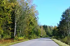
 Gudžiūnai forest to the east from Skėmiai village | |
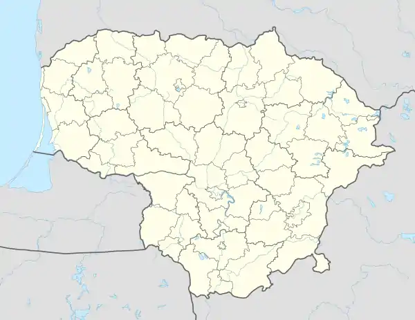
| Map | |
 | |
| Geography | |
| Location | Radviliškis District Municipality, Lithuania |
| Coordinates | 55°33′04″N 23°48′04″E / 55.551°N 23.801°E |
| Area | 11.8 km2 (4.6 sq mi) |
| Ecology | |
| Forest cover | birch, spruce, ash |
| Fauna | wild boar, roe deer |
The Gudžiūnai Forest (Lithuanian: Gudžiūnų miškas) is a forest mostly in Radviliškis District Municipality, central Lithuania, located to the south of Baisogala and to the north east of Gudžiūnai. It covers 11.8 km2 area. The rivers Liaudė and Garduva drain the forest.
38 % of the area is covered by birch, 41 % by spruce, 6 % by ash, 5 % by black alder, 9 % by aspen combined with oak and other tree groups.[1] Vilnius-Šiauliai railway goes across the forest.
References
- ↑ Tarybų Lietuvos enciklopedija (in Lithuanian). Vol. 2. Vilnius: Vyriausioji enciklopedijų redakcija. 1986. p. 14-15.
This article is issued from Wikipedia. The text is licensed under Creative Commons - Attribution - Sharealike. Additional terms may apply for the media files.