Gundlamarpalle | |
|---|---|
 Gundlamarpalle Location in Telangana, India 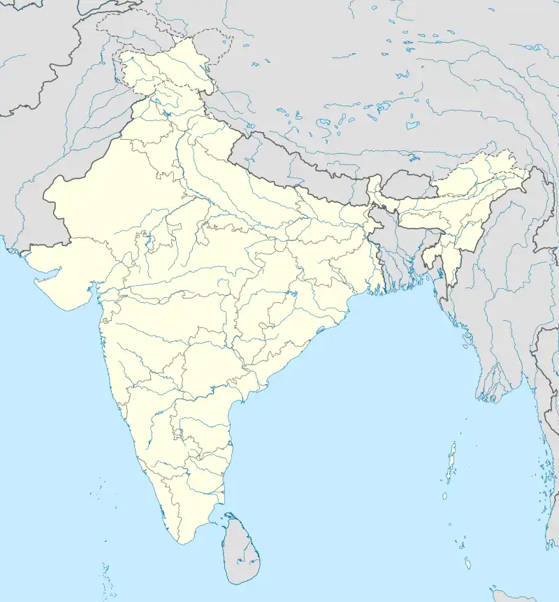 Gundlamarpalle Gundlamarpalle (India) | |
| Coordinates: 17°34′37″N 77°51′15″E / 17.576991°N 77.854247°E | |
| Country | |
| State | Telangana |
| District | Vikarabad |
| Mandal | Marpalle |
| Elevation | 565 m (1,854 ft) |
| Languages | |
| • Official | Telugu |
| Time zone | UTC+5:30 (IST) |
| PIN | 501202 |
| Telephone code | 08416 |
| Vehicle registration | TS-34 |
| Nearest city | Sangareddy |
| Sex ratio | 1:0.958 ♂/♀ |
| Lok Sabha constituency | Chevella |
| Vidhan Sabha constituency | Vikarabad |
| Climate | Normal (Köppen) |
| Website | telangana |
Gundlamarpalle is a hamlet village under Pilligundla Gram panchayat in Marpalle mandal, Vikarabad district, Telangana state, India.[1]
Geography
Gundlamarpalle is located at 17°34′37″N 77°51′15″E / 17.576991°N 77.854247°E.[2] It has an average elevation of 565 metres (1856 ft).
References
- ↑ "District Level Mandal wise list of villages in Vikarabad district". Special Chief Secretary of Revenue Department. mines.telangana.gov.in. Archived from the original (PDF) on 11 October 2016. Retrieved 12 January 2023.
- ↑ Gundlamarpalliat Fallingrain.com
This article is issued from Wikipedia. The text is licensed under Creative Commons - Attribution - Sharealike. Additional terms may apply for the media files.