| Hōteo River | |
|---|---|
 The Hōteo River as it reaches the Mangakura Inlet | |
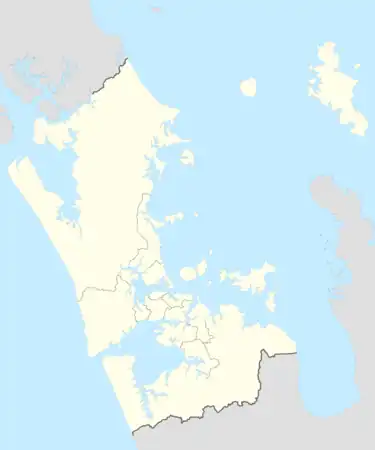
Route of the Hōteo River | |
 Mouth of the Hōteo River 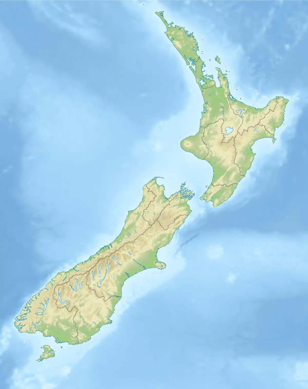 Hōteo River (New Zealand) | |
| Native name | Te Awa o Hōteo |
| Location | |
| Country | New Zealand |
| Region | Auckland Region |
| Physical characteristics | |
| Source | |
| • location | Confluence of the Whangaripo Stream and Waiteitei Stream |
| • coordinates | 36°16′20″S 174°34′34″E / 36.2721°S 174.57606°E |
| Mouth | Mangakura Inlet |
• coordinates | 36°25′27″S 174°26′39″E / 36.4242°S 174.4442°E |
| Length | 28 km (17 mi) |
| Basin size | 405 km2 (156 sq mi) |
| Discharge | |
| • average | 11 m3/s (390 cu ft/s) |
| Basin features | |
| Progression | Hōteo River → Mangakura Inlet → Kaipara Harbour → Tasman Sea |
| Tributaries | |
| • left | Waiwhiu Stream, Awarere Stream, Kaitoto Stream, Mangatu Stream |
| Bridges | Mangakura Bridge |
The Hōteo River is a river of the Auckland Region of New Zealand. It flows southwest from its sources close to the North Auckland Peninsula's east coast before emptying into the southern lobe of the Kaipara Harbour.
Description
The headwaters of the Hōteo River is the Waitapu Stream that starts within 5 km of the East Coast and the system drains out into the West Coast of Northland. The Hoteo forms at the confluence of the Whangaripo and Waiteitei streams.[1][2]
State Highway 1 crosses the river at Wayby, south of Wellsford and State Highway 16 crosses the river near Mangakura where it discharges into the Kaipara Harbour. The North Auckland Rail Line crosses the Hoteo river 3 times within 1.5 km; to the north of Kaipara Flats.
The lower reaches of the river are popular with whitebaiters and recreational fishermen and the river also hosts the annual Hōteo River Raft Race, a no-holds-barred event.
Geology
The river is an antecedent drainage stream. The river began flowing when the surrounding lands were a low-lying plain. Over time, the surrounding land was uplifted, but the Hoteo River retained the same course, creating a gorge through the uplifting rock.[3]
History
The Hōteo River was a traditional rohe (border) marker for the iwi (tribe) Ngāti Manuhiri's northernmost lands.[4]
See also
References
- ↑ "Hoteo River Catchment: Environment and Socio-economic Review" (PDF). Auckland Council. August 2014.
- ↑ "Place name detail: Hōteo River". New Zealand Gazetteer. New Zealand Geographic Board. Retrieved 1 November 2023.
- ↑ Hayward, Bruce W. (2017). Out of the Ocean, Into the Fire. Geoscience Society of New Zealand. pp. 220–222. ISBN 978-0-473-39596-4.
- ↑ Ngāti Manuhiri; The Crown (21 May 2011). "Deed of Settlement of Historical Claims" (PDF). New Zealand Government. Retrieved 18 May 2022.