Hamiltons Fort, Utah | |
|---|---|
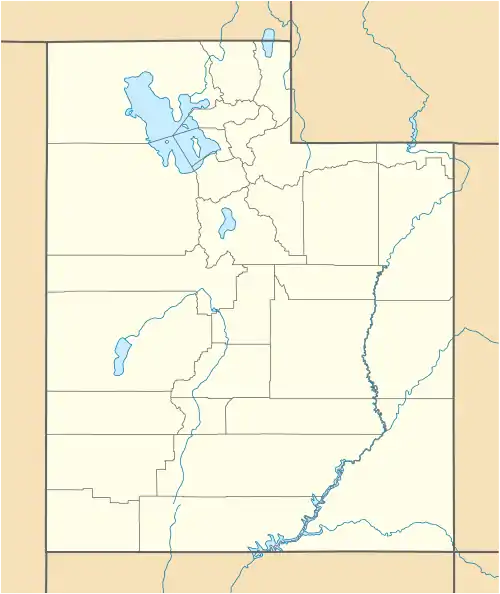
 Hamilton Fort Location of Hamilton Fort within the State of Utah  Hamilton Fort Hamilton Fort (the United States) | |
| Coordinates: 37°37′10″N 113°09′03″W / 37.61944°N 113.15083°W | |
| Country | United States |
| State | Utah |
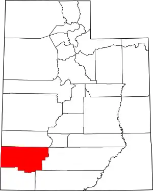
| County | Iron |
| Elevation | 5,568 ft (1,697 m) |
| Time zone | UTC-7 (Mountain (MST)) |
| • Summer (DST) | UTC-6 (MDT) |
| ZIP codes | 84753 |
| Area code | 435 |
| GNIS feature ID | 1454331[1] |
Hamiltons Fort is an unincorporated community in south-central Iron County, Utah, United States.[1][2]
Description
A post office called Hamiltons Fort was in operation between 1859 and 1913.[3] Variant names were "Hamilton Fort", "Fort Hamilton", "Fort Hamblin", "Hamblin", "Hambleton", and "Hamilton".[1] The community was named after John Hamilton, a pioneer settler.[4][5]
See also
References
- 1 2 3 4 "Hamiltons Fort". Geographic Names Information System. United States Geological Survey, United States Department of the Interior.
- ↑ "MyTopo Maps - Hamilton Fort, UT, USA" (Map). mytopo.com. Trimble Navigation, Ltd. Retrieved March 12, 2018.
- ↑ "Post Offices: Utah, Iron County". postalhistory.com. Las Vegas, Nevada: Jim Forte. Retrieved January 22, 2018.
- ↑ The Utah Genealogical and Historical Magazine, Volumes 9-10. 1918. p. 185.
- ↑ Van Cott, John W. (1990). Utah Place Names: A Comprehensive Guide to the Origins of Geographic Names: A Compilation. Salt Lake City: University of Utah Press. p. 175. ISBN 978-0-87480-345-7. OCLC 797284427. Retrieved March 12, 2018.
External links
![]() Media related to Hamiltons Fort, Utah at Wikimedia Commons
Media related to Hamiltons Fort, Utah at Wikimedia Commons
This article is issued from Wikipedia. The text is licensed under Creative Commons - Attribution - Sharealike. Additional terms may apply for the media files.
