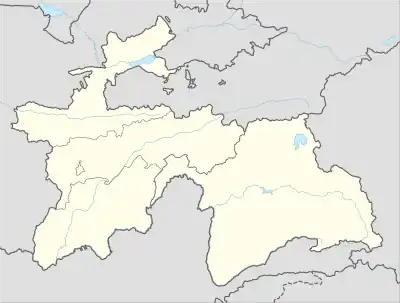
Hoit | |
|---|---|
Village and Jamoat | |
 Hoit | |
| Coordinates: 39°11′N 70°53′E / 39.183°N 70.883°E | |
| Country | |
| Region | Districts of Republican Subordination |
| District | Rasht District |
| Population (2015) | |
| • Total | 7,716 |
| Time zone | UTC+5 (TJT) |
Hoit (Tajik: Ҳоит, Persian: حائط Ḥāʼeṭ, Russian: Хаит Khait) is a village and jamoat in Tajikistan. It is located in Rasht District, one of the Districts of Republican Subordination. The jamoat has a total population of 7,716 (2015).[1] Hoit is situated near the confluences of the river Surkhob (Vakhsh) with its tributaries Yasman and Yarkhych.
Earthquake catastrophe
On 10 July 1949 one of the three largest earthquakes of the 20th century, struck Tajikistan at Hoit.[2] Twenty villages in the Yasman valley, Hoit and nearby Hisorak were covered with mud and debris.[3] Estimates of the number of casualties range from 7,200[3] to 29,000.[2]
According to the Global Seismic Hazard Map (GSHAP 1999), the whole country is located in the high to very high risk zone with a history of catastrophic and deadly earthquakes.[4]
References
- ↑ Jamoat-level basic indicators, United Nations Development Programme in Tajikistan, accessed 14 October 2020
- 1 2 "Invest today for a safer tomorrow" (PDF). United Nations International Strategy for Disaster Relief. July 2009. Retrieved 2010-02-02.
- 1 2 Evans, S.G.; Roberts N.J.; Ischuck A.; Delaney K.B.; Morozova G.S.; Tutubalina O. (20 November 2009). "Landslides triggered by the 1949 Khait earthquake, Tajikistan, and associated loss of life". Engineering Geology. 109 (3–4): 195–212. doi:10.1016/j.enggeo.2009.08.007.
- ↑ "Support of the National Disaster Response Capacity in Tajikistan". United Nations. Retrieved 2010-02-07.
