Holmes County Airport | |||||||||||
|---|---|---|---|---|---|---|---|---|---|---|---|
| Summary | |||||||||||
| Airport type | Public | ||||||||||
| Owner | Holmes County Airport Authority | ||||||||||
| Location | Millersburg, Ohio | ||||||||||
| Elevation AMSL | 1,226.5 ft / 373.8 m | ||||||||||
| Coordinates | 40°32′14″N 081°57′16″W / 40.53722°N 81.95444°W | ||||||||||
| Map | |||||||||||
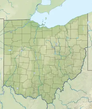 10G Location of airport in Ohio  10G 10G (the United States) | |||||||||||
| Runways | |||||||||||
| |||||||||||
| Statistics | |||||||||||
| |||||||||||
Holmes County Airport (FAA LID: 10G) is a public airport located two miles southwest of Millersburg, Ohio, United States. It is owned and operated by the Holmes County Airport Authority.[1]
Facilities and aircraft
Holmes County Airport covers an area of 200 acres (81 ha) which contains one runway designated 09/27 with a 4,400 ft × 65 ft (1,341 m × 20 m) asphalt pavement. For the 12-month period ending July 27, 2013, the airport had 21,500 aircraft operations: 93% general aviation, 4.6% military and 2.4% air taxi.[1]
See also
References
- 1 2 3 FAA Airport Form 5010 for 10G PDF, effective 2016-02-04
External links
- Resources for this airport:
- FAA airport information for 10G
- AirNav airport information for 10G
- FlightAware airport information and live flight tracker
- SkyVector aeronautical chart for 10G
This article is issued from Wikipedia. The text is licensed under Creative Commons - Attribution - Sharealike. Additional terms may apply for the media files.