Håra
Horda | |
|---|---|
Village | |
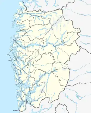
 Håra Location of the village  Håra Håra (Norway) | |
| Coordinates: 59°48′42″N 06°46′17″E / 59.81167°N 6.77139°E | |
| Country | Norway |
| Region | Western Norway |
| County | Vestland |
| District | Hardanger |
| Municipality | Ullensvang |
| Elevation | 475 m (1,558 ft) |
| Time zone | UTC+01:00 (CET) |
| • Summer (DST) | UTC+02:00 (CEST) |
| Post Code | 5760 Røldal |
Horda or Håra is a village in Ullensvang municipality in Vestland county, Norway. The village is located in a small valley off the northwestern shore of the lake Røldalsvatnet. It is the location of the Horda Tunnel, a spiral tunnel through which the European route E134 highway and Norwegian National Road 13 pass. The larger village of Røldal lies about 3.5 kilometres (2.2 mi) to the northeast and the small village of Botnen lies about 7 kilometres (4.3 mi) to the south.
References
- ↑ "Håra, Odda (Hordaland)" (in Norwegian). yr.no. Retrieved 7 June 2014.
This article is issued from Wikipedia. The text is licensed under Creative Commons - Attribution - Sharealike. Additional terms may apply for the media files.