| Iceberg Peak | |
|---|---|
 Iceberg Peak  Iceberg Peak | |
| Highest point | |
| Elevation | 1,982 m (6,503 ft)[1] |
| Prominence | 72 m (236 ft)[1] |
| Parent peak | Mount Celeste (2045 m)[1] |
| Listing | Mountains of British Columbia |
| Coordinates | 49°34′19″N 125°23′29″W / 49.57194°N 125.39139°W[2] |
| Geography | |
| Country | Canada |
| Province | British Columbia |
| District | Clayoquot Land District |
| Protected area | Strathcona Provincial Park |
| Parent range | Vancouver Island Ranges[1] |
| Topo map | NTS 92F11 Forbidden Plateau[2] |
| Climbing | |
| First ascent | 1930's |
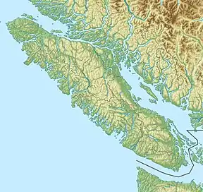
Iceberg Peak is a mountain located on Vancouver Island, British Columbia, Canada. Within the boundaries of Strathcona Provincial Park, this peak lies at the south end of Rees Ridge.[3] Mount Celeste lies at the north end of this ridge.
History
The first ascent of this peak is credited to the Bill Bell survey party in the 1930s.
References
- 1 2 3 4 "Iceberg Peak". Bivouac.com. Retrieved 2021-05-15.
- 1 2 "Iceberg Peak". Geographical Names Data Base. Natural Resources Canada. Retrieved 2021-05-15.
- ↑ "Iceberg Peak". BC Geographical Names. Retrieved 2021-05-15.
- Sources
- Stone, Philip (2003). Island Alpine, A Guide to the Mountains of Strathcona Park and Vancouver Island. Wild Isle Publications: Heriot Bay, BC. ISBN 978-0-9680766-5-1.
External links
This article is issued from Wikipedia. The text is licensed under Creative Commons - Attribution - Sharealike. Additional terms may apply for the media files.