Impfingen | |
|---|---|
 Coat of arms | |
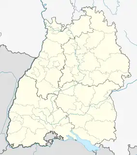
Location of Impfingen | |
 Impfingen  Impfingen | |
| Coordinates: 49°38′51″N 09°39′35″E / 49.64750°N 9.65972°E | |
| Country | Germany |
| State | Baden-Württemberg |
| District | Main-Tauber-Kreis |
| Town | Tauberbischofsheim |
| Time zone | UTC+01:00 (CET) |
| • Summer (DST) | UTC+02:00 (CEST) |
| Postal codes | 97941 |
| Dialling codes | 09341 |
| Vehicle registration | TBB |
Impfingen is a district of Tauberbischofsheim with 1023 residents.[1]
Geography
Impfingen is located north of Tauberbischofsheim in the Tauberfranken region of Franconia.[1]
History
Impfingen is one of seven districts of Tauberbischofsheim. The other districts are the town of Tauberbischofsheim, as well as Dienstadt, Distelhausen, Dittigheim, Dittwar and Hochhausen.[1]
Impfingen was incorporated to Tauberbischofsheim during the local government reform in Baden-Württemberg on January 1, 1971.[1]
References
- 1 2 3 4 Tauberbischofsheim: Die Stadtteile der Kreisstadt Tauberbischofsheim. Impfingen. - The districts of the district principal town Tauberbischofsheim. Impfingen. www.tauberbischofsheim.de. 27.04.2019.
External links
Wikimedia Commons has media related to Impfingen.
This article is issued from Wikipedia. The text is licensed under Creative Commons - Attribution - Sharealike. Additional terms may apply for the media files.