| Alexander State Forest | |
|---|---|
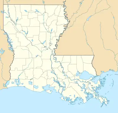
 Map of Louisiana, United States of America | |
| Location | Rapides Parish, Louisiana |
| Nearest city | Woodworth, Louisiana |
| Coordinates | 31°07′54″N 92°29′43″W / 31.131652°N 92.495356°W[1] |
| Area | 2,600 acres (1,100 ha) |
| Established | 1973[3] |
| Governing body | Department of Agriculture and Forestry |
| Louisiana Department of Agriculture and Forestly | |
Indian Creek Recreation Area is a recreation area located inside Alexander State Forest in Rapides Parish near Woodworth, Louisiana. It includes Indian Creek Reservoir, which is an artificial lake developed with the aid of the Louisiana Forestry Commission, the Rapides Parish Police Jury, and the Lower West Red River Soil and Water Conservation District. The lake was created in 1970 as a reservoir for agricultural irrigation and for recreation purposes.[3]
External links
References
Calhoun, Milburn; Frois, Jeanne (2006-05-31). Louisiana Almanac, 2006-2007 (17 ed.). Pelican Publishing. ISBN 978-1-58980-307-7.
- ↑ "Indian Creek Recreation Area State, Vicinity, and Area Maps" (PDF). Department of Agriculture and Forestry. Archived from the original (pdf) on 2011-01-11. Retrieved 2011-04-11.
- "Indian Creek Recreation Area State, Vicinity, and Area Maps" (PDF). Department of Agriculture and Forestry. Archived from the original (pdf) on 2011-01-11. Retrieved 2011-04-11.
- 1 2 Calhoun et al., 2006, p. 431.
This article is issued from Wikipedia. The text is licensed under Creative Commons - Attribution - Sharealike. Additional terms may apply for the media files.