| Indian River | |
|---|---|
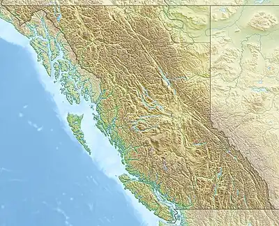 Location of the mouth of the river in British Columbia | |
| Location | |
| Country | Canada |
| Province | British Columbia |
| Land District | New Westminster Land District |
| Regional Districts | Greater Vancouver Regional District, Squamish-Lillooet Regional District |
| Physical characteristics | |
| Source | |
| • location | Squamish-Lillooet Regional District |
| • coordinates | 49°38′36″N 123°02′23″W / 49.64333°N 123.03972°W |
| • elevation | 801 m (2,628 ft) |
| Mouth | Indian Arm |
• location | Burrard Inlet, Lower Mainland |
• coordinates | 49°28′00″N 122°53′00″W / 49.46667°N 122.88333°W |
• elevation | 0 m (0 ft) |
| Basin features | |
| River system | Pacific Ocean drainage basin |
The Indian River is a river in the Lower Mainland region of British Columbia, Canada.[1][2] It is in the Pacific Ocean drainage basin, and is a tributary of Indian Arm.
Course
The river begins at Mount Baldwin in Squamish-Lillooet Regional District.[2] It flows south and reaches its mouth at Indian Arm, which flows via Burrard Inlet to the Pacific Ocean. An electric power transmission line to Whistler follows the river valley.
Tributaries
- Hixon Creek (left)
- Forestry Creek (right)
- Brandt Creek (left)
- Meslilloet Creek (left)
See also
References
- ↑ "Indian River". Geographical Names Data Base. Natural Resources Canada. Retrieved 2012-01-23.
- 1 2 "Indian River". Atlas of Canada. Natural Resources Canada. 2010-02-04. Retrieved 2012-01-23. Shows the course of the river highlighted on a map.
This article is issued from Wikipedia. The text is licensed under Creative Commons - Attribution - Sharealike. Additional terms may apply for the media files.