Jiujing Hani Ethnic Township
酒井哈尼族乡 | |
|---|---|
| Etymology: | |
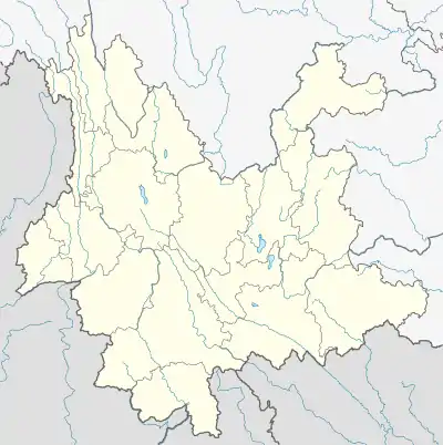
 Jiujing Hani Ethnic Township Location in Yunnan. | |
| Coordinates: 22°26′53″N 99°58′31″E / 22.44806°N 99.97528°E | |
| Country | People's Republic of China |
| Province | Yunnan |
| Prefecture-level city | Pu'er City |
| Autonomous county | Lancang Lahu Autonomous County |
| Incorporated (township) | 1940 |
| Area | |
| • Total | 381 km2 (147 sq mi) |
| Population (2017) | |
| • Total | 14,065 |
| • Density | 37/km2 (96/sq mi) |
| Time zone | UTC+08:00 (China Standard) |
| Postal code | 665699 |
| Area code | 0879 |
Jiujing Hani Ethnic Township (simplified Chinese: 酒井哈尼族乡; traditional Chinese: 酒井哈尼族鄉; pinyin: Jiǔjǐng Hānízú Xiāng) is an ethnic township in Lancang Lahu Autonomous County, Yunnan, China. As of the 2017 census it had a population of 14,065 and an area of 381-square-kilometre (147 sq mi).
Etymology
In late Qing dynasty (1644–1911), the region was rich in wine, hence the name "Jiujing" (酒井; 'Wine well').
Administrative division
As of 2016, the township is divided into four villages:
- Jiufang (酒房村)
- Yanyin (岩因村)
- Shuifang (税房村)
- Menggen (勐根村)
History
It came under the jurisdiction of Tudusi (土都司) in the Qing dynasty (1644–1911).
In 1940, it was under the jurisdiction of the 1st District and then became Jiujing Township (酒井乡).
From 1949 to 1968, it was known as "Jiujing District" (酒井区). In 1969, it was renamed "Weidong Commune" (卫东公社) and then "Jiujing Commune" (酒井公社) in 1972. It was formed as a township in 1988.
Geography
The township is situated at southern Lancang Lahu Autonomous County. The township is bordered to the north by Menglang Town, to the east by Nuozhadu Town, to the south by Huimin Town, and to the west by Donghui Town and Nuofu Township.[1]
Economy
The economy of the township has a predominantly agricultural orientation, including farming, ranching and pig-breeding. Commercial crops include tea, sugarcane, and coffee bean.[1]
Demographics
| Year | Pop. | ±% |
|---|---|---|
| 2004 | 12,004 | — |
| 2017 | 14,065 | +17.2% |
| Source: [1] | ||
As of 2017, the National Bureau of Statistics of China estimates the township's population now to be 14,065.
| Ethnic groups in 2004[1] | ||
|---|---|---|
| Ethnicity | Population | Percentage |
| Hani | 5460 | 45.5% |
| Lahu | 4676 | 39.0% |
| Han | 647 | 5.4% |
| Wa | 228 | 1.9% |
| Dai | 808 | 6.7% |
| Other | 185 | 1.5% |
Transportation
The National Highway G214 passes across the township north to south.
References
- 1 2 3 4 Shi Chunyun 2007, p. 51.
Bibliography
- Shi Chunyun, ed. (2007). "Administrative divisions" 行政区划. 《澜沧拉祜族自治县概况》 [General Situation of Lancang Lahu Autonomous County] (in Chinese). Beijing: Nationalities Publishing House. ISBN 978-7-105-08556-9.