Juan José Rondón Airport | |||||||||||
|---|---|---|---|---|---|---|---|---|---|---|---|
| Summary | |||||||||||
| Airport type | Public | ||||||||||
| Serves | Paipa, Colombia | ||||||||||
| Elevation AMSL | 8,205 ft / 2,501 m | ||||||||||
| Coordinates | 5°45′52″N 73°06′20″W / 5.76444°N 73.10556°W | ||||||||||
| Map | |||||||||||
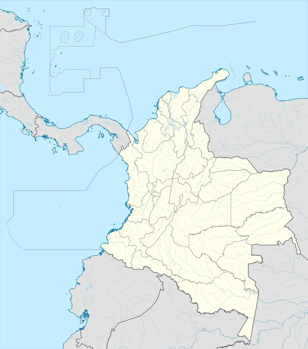
 RON Location of the airport in Colombia | |||||||||||
| Runways | |||||||||||
| |||||||||||
Juan José Rondón Airport (IATA: RON, ICAO: SKPA) is a high-elevation airport serving the town of Paipa in the Boyacá Department of Colombia.
The airport is 4.6 kilometres (2.9 mi) east of the TermoPaipa power plant[3][4] and 2 kilometres (1.2 mi) south of the town, just east of Lake Sochagota. The runway length does not include a 100 metres (330 ft) displaced threshold on Runway 04.
On June 22, 2022, Colombian domestic carrier Easyfly is scheduled to begin service to Paipa from Medellin and Bucaramanga.[5]
See also
References
- ↑ Airport information for RON at Great Circle Mapper.
- ↑ Google Maps - Paipa
- ↑ Steag TermoPaipa power plant
- ↑ Sochagota Termopaipa IV
- ↑ "Vuelos Paipa". Easyfly. Easyfly. Retrieved 15 June 2022.
External links
This article is issued from Wikipedia. The text is licensed under Creative Commons - Attribution - Sharealike. Additional terms may apply for the media files.