Kabadüz | |
|---|---|
District and municipality | |
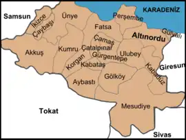 Map showing Kabadüz District in Ordu Province | |
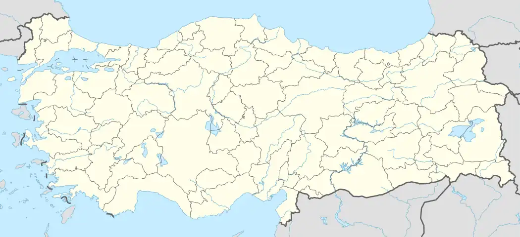 Kabadüz Location in Turkey | |
| Coordinates: 40°51′35″N 37°53′24″E / 40.85972°N 37.89000°E | |
| Country | Turkey |
| Province | Ordu |
| Government | |
| • Mayor | Yener Kaya (AKP) |
| Area | 343 km2 (132 sq mi) |
| Elevation | 580 m (1,900 ft) |
| Population (2022)[1] | 7,055 |
| • Density | 21/km2 (53/sq mi) |
| Time zone | TRT (UTC+3) |
| Postal code | 52020 |
| Area code | 0452 |
| Climate | Cfb |
| Website | www |
Kabadüz is a municipality and district of Ordu Province, Turkey.[2] Its area is 343 km2,[3] and its population is 7,055 (2022).[1] The town lies at an elevation of 580 m (1,903 ft). Kabadüz is a district of green hillsides, 21 km inland from the city of Ordu.
Composition
There are 19 neighbourhoods in Kabadüz District:[4]
- Akgüney
- Başköy
- Derinçay
- Dişkaya
- Esenyurt
- Gelinkaya
- Gülpınar
- Gümüşdere
- Harami
- Kabadüz
- Karakiraz
- Kirazdere
- Musakırık
- Özlükent
- Turnalık
- Yeşilada
- Yeşilyurt
- Yokuşdibi
- Yukarı Kirazdere
References
- 1 2 "Address-based population registration system (ADNKS) results dated 31 December 2022, Favorite Reports" (XLS). TÜİK. Retrieved 19 September 2023.
- ↑ Büyükşehir İlçe Belediyesi, Turkey Civil Administration Departments Inventory. Retrieved 19 September 2023.
- ↑ "İl ve İlçe Yüz ölçümleri". General Directorate of Mapping. Retrieved 19 September 2023.
- ↑ Mahalle, Turkey Civil Administration Departments Inventory. Retrieved 19 September 2023.
External links
- District governor's official website (in Turkish)
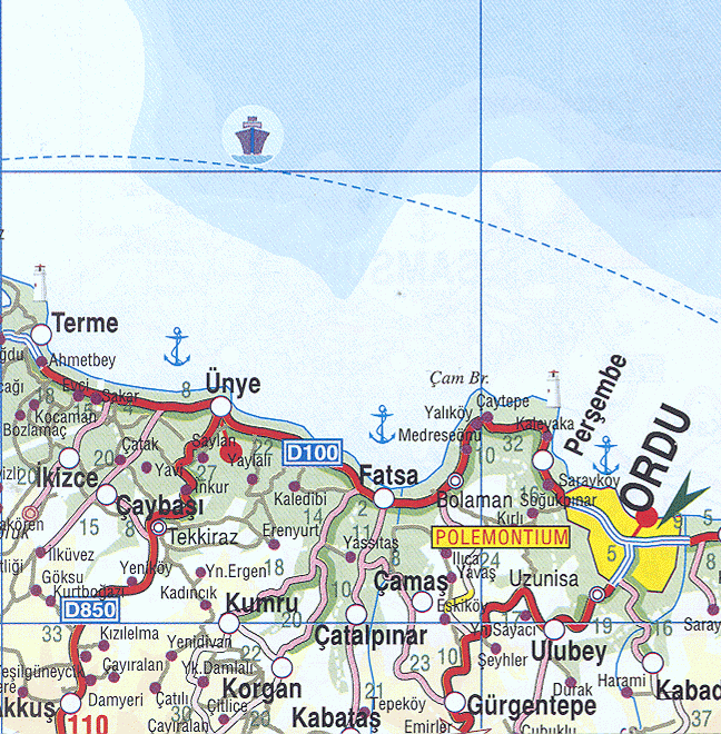
- Road map of Kabadüz and environs
- Detailed road map of Kabadüz district
- Various images of Kabadüz, Ordu
Kabadüz in Ordu Province of Turkey | |||||||||||||||||||||||||||
|---|---|---|---|---|---|---|---|---|---|---|---|---|---|---|---|---|---|---|---|---|---|---|---|---|---|---|---|
| Districts | 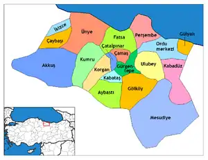 Districts of Ordu | ||||||||||||||||||||||||||
| |||||||||||||||||||||||||||
Metropolitan municipalities are bolded. | |||||||||||||||||||||||||||
This article is issued from Wikipedia. The text is licensed under Creative Commons - Attribution - Sharealike. Additional terms may apply for the media files.