Kabalebo Airstrip | |||||||||||
|---|---|---|---|---|---|---|---|---|---|---|---|
| Summary | |||||||||||
| Airport type | Public | ||||||||||
| Operator | Luchtvaartdienst Suriname | ||||||||||
| Location | Kabalebo, Suriname | ||||||||||
| Elevation AMSL | 535 ft / 163 m | ||||||||||
| Coordinates | 004°24′25″N 057°13′25″W / 4.40694°N 57.22361°W | ||||||||||
| Map | |||||||||||
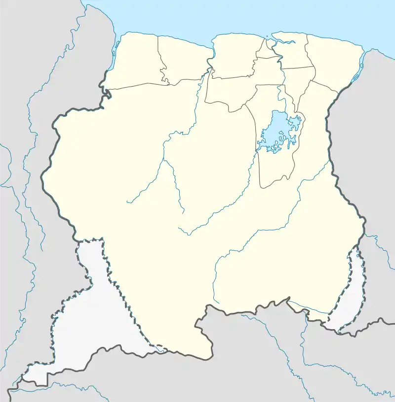
 SMKA Location in Suriname | |||||||||||
| Runways | |||||||||||
| |||||||||||
Kabalebo Airstrip (ICAO: SMKA) serves the village of Kabalebo, Suriname. It was constructed as part of Operation Grasshopper.
Facilities
The Kabalebo Airstrip has one long unpaved runway. The main-lodge of the Kabalebo Nature Resort[3][4] and its swimming pool are adjacent to the runway.
Airlines and destinations
Currently, no scheduled services are offered from Kabalebo. Charter Airlines serving this airport are:
| Airlines | Destinations |
|---|---|
| Blue Wing Airlines | Charter: Paramaribo–Zorg en Hoop[5] |
| Gum Air | Charter: Paramaribo–Zorg en Hoop[6] |
| Hi-Jet Helicopter Services | Charter: Paramaribo–Zorg en Hoop |
| United Air Services | Charter: Paramaribo–Zorg en Hoop |
Accidents and incidents
.svg.png.webp) On 23 June 1965 a Beech G18S, registration PZ-TAR from the Surinaamse Luchtvaart Maatschappij equipped with JATO (Jet Assisted Take Off) rockets crashed at Kabalebo. There were no fatalities; the pilot was J. den Besten.[7]
On 23 June 1965 a Beech G18S, registration PZ-TAR from the Surinaamse Luchtvaart Maatschappij equipped with JATO (Jet Assisted Take Off) rockets crashed at Kabalebo. There were no fatalities; the pilot was J. den Besten.[7]
See also
References
- ↑ Airport information for SMKA at Great Circle Mapper.
- ↑ Google Maps - Kabalebo
- ↑ Kabalebo Nature Resort
- ↑ Suriname Holidays
- ↑ Blue Wing schedule Archived 2013-05-22 at the Wayback Machine
- ↑ Gum Air destinations
- ↑ Aircraft database
External links
This article is issued from Wikipedia. The text is licensed under Creative Commons - Attribution - Sharealike. Additional terms may apply for the media files.