Kalne
Кальне | |
|---|---|
 Kalne | |
| Coordinates: 48°51′03″N 23°19′38″E / 48.85083°N 23.32722°E | |
| Country | |
| Province | |
| District | Stryi Raion |
| Established | 1608 |
| Area | |
| • Total | 1,201 km2 (464 sq mi) |
| Elevation /(average value of) | 711 m (2,333 ft) |
| Population | |
| • Total | 243 |
| • Density | 20,233/km2 (52,400/sq mi) |
| Time zone | UTC+2 (EET) |
| • Summer (DST) | UTC+3 (EEST) |
| Postal code | 82644 |
| Area code | +380 3251 |
| Website | село Кальне (Ukrainian) |
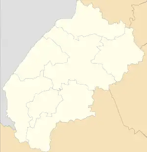
Kalne (Ukrainian: Ка́льне) is a village (selo) in Stryi Raion, Lviv Oblast, of Western Ukraine. Village Kalne is located in the Ukrainian Carpathians within the limits of the Eastern Beskids (Skole Beskids) in southern Lviv Oblast. It is 150 kilometres (93 mi) from the city of Lviv, 80 kilometres (50 mi) from Stryi, and 40 kilometres (25 mi) from Skole. Kalne belongs to Slavske settlement hromada, one of the hromadas of Ukraine.[1] Local government — Khitarska village council.[2]
The first written record indicates that the date of foundation is considered to be 1608.[3]
Until 18 July 2020, Kalne belonged to Skole Raion. The raion was abolished in July 2020 as part of the administrative reform of Ukraine, which reduced the number of raions of Lviv Oblast to seven. The area of Skole Raion was merged into Stryi Raion.[4][5]
In the village is the church of St.. Arch. Michael (1820) and a wooden Bell Tower built in 1837.
References
- ↑ "Славская громада" (in Russian). Портал об'єднаних громад України.
- ↑ Хітарська сільська рада (in Ukrainian)
- ↑ (in Ukrainian)
- ↑ "Про утворення та ліквідацію районів. Постанова Верховної Ради України № 807-ІХ". Голос України (in Ukrainian). 2020-07-18. Retrieved 2020-10-03.
- ↑ "Нові райони: карти + склад" (in Ukrainian). Міністерство розвитку громад та територій України.
External links
- weather.in.ua
- Кальне, церква Св. Арх. Михайла (1820) (in Ukrainian)