Kamate Station 鎌手駅 | |||||||||||
|---|---|---|---|---|---|---|---|---|---|---|---|
 Kamate Station, October 2007 | |||||||||||
| General information | |||||||||||
| Location | 880 Nishihirabara-chō, Masuda-shi, Shimane-ken 699-3506 Japan | ||||||||||
| Coordinates | 34°45′6.14″N 131°52′41.88″E / 34.7517056°N 131.8783000°E | ||||||||||
| Owned by | |||||||||||
| Operated by | |||||||||||
| Line(s) | D San'in Main Line | ||||||||||
| Distance | 507.2 km (315.2 mi) from Kyoto | ||||||||||
| Platforms | 2 side platforms | ||||||||||
| Tracks | 2 | ||||||||||
| Connections | |||||||||||
| Construction | |||||||||||
| Structure type | At grade | ||||||||||
| Other information | |||||||||||
| Status | Unstaffed | ||||||||||
| Website | Official website | ||||||||||
| History | |||||||||||
| Opened | 26 December 1923 | ||||||||||
| Passengers | |||||||||||
| FY2020 | 15 | ||||||||||
| Services | |||||||||||
| |||||||||||
| Location | |||||||||||
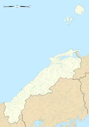
 Kamate Station Location within Shimane Prefecture  Kamate Station Kamate Station (Japan) | |||||||||||
Kamate Station (鎌手駅, Kamate-eki) is a passenger railway station located in the city of Masuda, Shimane Prefecture, Japan. It is operated by the West Japan Railway Company (JR West).[1]
Lines
Kamate Station is served by the JR West San'in Main Line, and is located 502.7 kilometers from the terminus of the line at Kyoto. Only local trains stop at this station.
Station layout
The station consists of two opposed side platforms on an embankment, connected by an underground passage. The station is unattended.
Platforms
| 1 | ■ D San'in Main Line | for Masuda and Shin-Yamaguchi |
| 2 | ■ D San'in Main Line | for Hamada and Izumoshi |
History
Kamate Station was opened by the Japan Government Railways San'in Main Line when the line was extended extended from Miho-Misumi Station and Masuda Station on 26 December 1923. Freight operations were discontinued on 1 February 1963. With the privatization of the Japan National Railway (JNR) on 1 April 1987, the station came under the aegis of the West Japan railway Company (JR West).
Passenger statistics
In fiscal 2020, the station was used by an average of 15 passengers daily.[2]
Surrounding area
- Tsuchida Beach
- Masuda City Kamate Elementary School
- Japan National Route 9
See also
References
- ↑ Kawashima, Reizo (2012). 山陽・山陰ライン 全線・全駅・全配線 第6巻 広島東部・呉エリア [Sanyo/Sanin Line - All Lines, All Stations 6 east Hiroshima/Kure Area] (in Japanese). Kodansha. ISBN 978-4-06-295155-5.
- ↑ Shimane Prefecture Statistical Yearbook
External links
 Media related to Kamate Station at Wikimedia Commons
- JR West Station Official Site