Kamwatta Hill | |
|---|---|
Village | |
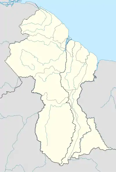 Kamwatta Hill Location in Guyana | |
| Coordinates: 8°07′N 59°51′W / 8.117°N 59.850°W | |
| Country | |
| Region | Barima-Waini |
| Government | |
| • Toshao | Maurice Henry[1] |
| Population (2012)[2] | |
| • Total | 565 |
Kamwatta Hill is a community in the Barima-Waini Region, in northern Guyana. Kamwatta is an Amerindian village[3] inhabited by Warao and Arawak people.[4]
Kamwatta Hill is located at an altitude of 34 m (114 feet). Its population as of 2012 is 565 inhabitants.[2] The economy is based on subsistence farming.[5] Kamwatta Hill has a health centre and a primary school, however secondary education is provided in Wauna or Hosororo.[6] The community began receiving electricity in 2006, when a diesel-powered generator was donated by Mr. Monty Niathally, proprietor of Variety Woods and Greenheart Limited. [7]
References
- ↑ "Kamwatta and Whitewater to get electricity before the end of 2021 – PM". Department of Public Information. Retrieved 8 February 2022.
- 1 2 "2012 Population by Village". Statistics Guyana. Retrieved 16 August 2020.
- ↑ "Indigenous villages". Ministry of Indigenous Peoples’ Affairs. Retrieved 18 August 2020.
- ↑ Atkinson 2016, p. 129.
- ↑ Atkinson 2016, p. 128.
- ↑ Atkinson 2016, p. 130.
- ↑ "Generating sets handed over to three hinterland communities". Archived from the original on 2005-03-28. Retrieved 21 August 2020.
Bibliography
Atkinson, Sharon (2016). OUR LAND, OUR LIFE (PDF). Amerindian Peoples Association and Forest Peoples Programme. ISBN 978-0-9935190-7-9. {{cite book}}: |website= ignored (help)
8°07′N 59°51′W / 8.117°N 59.850°W