Kanaranzi | |
|---|---|
 Kanaranzi  Kanaranzi | |
| Coordinates: 43°34′33″N 96°05′40″W / 43.57583°N 96.09444°W | |
| Country | United States |
| State | Minnesota |
| County | Rock |
| Township | Kanaranzi |
| Elevation | 1,506 ft (459 m) |
| Population (2011) | |
| • Total | 70 |
| Time zone | UTC-6 (Central (CST)) |
| • Summer (DST) | UTC-5 (CDT) |
| ZIP code | 56146[2] |
| Area code | 507 |
| GNIS feature ID | 646031[1] |
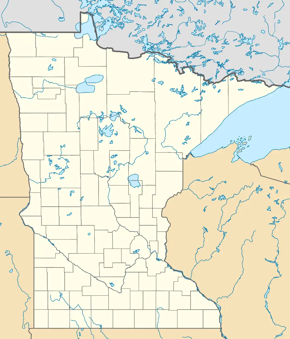
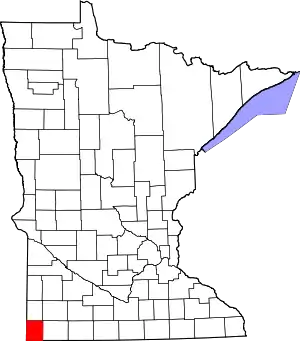
Kanaranzi (/ˌkænəˈrɒnzi/ KAN-ə-RON-zee)[3] is an unincorporated community in Kanaranzi Township, Rock County, Minnesota, United States. Kanaranzi is 8 miles (13 km) southeast of Luverne. Kanaranzi had a post office, which opened on December 30, 1886 and closed on July 4, 1992.[4] In 2011, the Minnesota Department of Transportation estimated its population to be 70.[5] Kanaranzi was platted in 1885, and named after nearby Kanaranzi Creek.[6]
References
- 1 2 U.S. Geological Survey Geographic Names Information System: Kanaranzi, Minnesota
- ↑ "Kanaranzi ZIP Code". zipdatamaps.com. 2022. Retrieved November 30, 2022.
- ↑ "Minnesota Pronunciation Guide". Associated Press. Archived from the original on July 22, 2011. Retrieved July 4, 2011.
- ↑ "Postmaster Finder - Post Offices by ZIP Code". United States Postal Service. Archived from the original on February 9, 2004. Retrieved February 19, 2012.
- ↑ Rock County, Minnesota (PDF) (Map). Minnesota Department of Transportation. 2011. Archived from the original (PDF) on December 6, 2008. Retrieved August 11, 2011.
- ↑ Upham, Warren (1920). Minnesota Geographic Names: Their Origin and Historic Significance. Minnesota Historical Society. p. 467.
External links
This article is issued from Wikipedia. The text is licensed under Creative Commons - Attribution - Sharealike. Additional terms may apply for the media files.
