Kangirsuk Airport | |||||||||||
|---|---|---|---|---|---|---|---|---|---|---|---|
| Summary | |||||||||||
| Airport type | Public | ||||||||||
| Operator | Administration régionale Kativik | ||||||||||
| Location | Kangirsuk, Quebec | ||||||||||
| Time zone | EST (UTC−05:00) | ||||||||||
| • Summer (DST) | EDT (UTC−04:00) | ||||||||||
| Elevation AMSL | 406 ft / 124 m | ||||||||||
| Coordinates | 60°01′38″N 069°59′57″W / 60.02722°N 69.99917°W | ||||||||||
| Map | |||||||||||
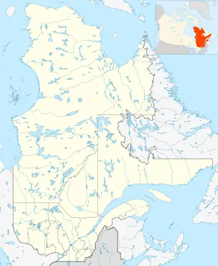 CYAS Location in Quebec | |||||||||||
| Runways | |||||||||||
| |||||||||||
| Statistics (2010) | |||||||||||
| |||||||||||
Kangirsuk Airport (IATA: YKG, ICAO: CYAS) is located 0.5 nautical miles (0.93 km; 0.58 mi) east of Kangirsuk, Quebec, Canada. It has a single gravel runway, Runway 3/21 which is 3521 feet long. It has telephone facilities within the airport terminal. Within a 5 nautical mile range of the airport, patrons have access to food, medical aid and accommodation.[3]
Airlines and destinations
Air Inuit regularly flies scheduled flights in and out of the airport with the de Havilland Dash 8-300 (DH3) and the de Havilland Canada DHC-6 Twin Otter.[4] Air Inuit provides the following destinations from Kangirsuk Airport:[5]
| Airlines | Destinations |
|---|---|
| Air Inuit | Aupaluk, Kangiqsujuaq, Kuujjuaq, Montreal–Trudeau, Quaqtaq, Quebec City, Salluit, Schefferville, Tasiujaq |
References
- ↑ Canada Flight Supplement. Effective 0901Z 16 July 2020 to 0901Z 10 September 2020.
- ↑ Total aircraft movements by class of operation
- ↑ "CYAS - Kangirsuk Airport | SkyVector". skyvector.com. Retrieved 2023-11-16.
- ↑ Flightradar24. "Live Flight Tracker - Real-Time Flight Tracker Map". Flightradar24. Retrieved 2023-11-16.
{{cite web}}: CS1 maint: numeric names: authors list (link) - ↑ "Destinations". Air Inuit. Retrieved 2023-11-16.
External links
- Accident history for YKG at Aviation Safety Network
- Past three hours METARs, SPECI and current TAFs for Kangirsuk Airport from Nav Canada as available.
| By name | |
|---|---|
| By location indicator | |
| By province/territory | |
| By area | |
| National Airports System | |
| Related | |
| |
This article is issued from Wikipedia. The text is licensed under Creative Commons - Attribution - Sharealike. Additional terms may apply for the media files.