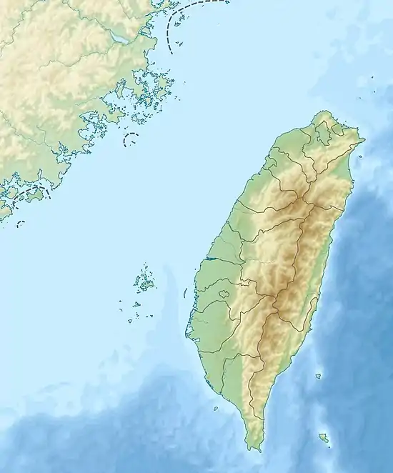
| Kashe River | |
|---|---|
 Map showing the mouth of Kashe River at its confluence with the Zhuoshui River | |
| Location | |
| Country | Taiwan |
| Physical characteristics | |
| Mouth | |
• location | 阿桑托洛 at the Xinyi–Ren'ai Township border |
• coordinates | 23°48′57″N 121°02′15″E / 23.815833°N 121.0375°E |
| Length | 46.79 km (29.07 mi)[1] |
| Basin size | 145.51 km2 (56.18 sq mi)[1] |
| Basin features | |
| River system | Zhuoshui River |
The Kashe River (Chinese: 卡社溪; pinyin: Kǎshè Xī) is a 47 km (29 mi) long river in Nantou County, central Taiwan.[1][2][3] It is a tributary of the Zhuoshui River.[1][2]
See also
References
- 1 2 3 4 林蔚榮 (6 April 2011). "濁水溪流域治理及河川環境營造概述" (PDF) (in Chinese (Taiwan)). 逢甲大學水利工程與資源保育學系工程參訪簡報. Retrieved 10 January 2018.
- 1 2 "濁水溪". 流域基本資料 (in Chinese (Taiwan)). Central Geological Survey, MOEA. Retrieved 10 January 2018.
- ↑ "GeoNames Search". Geographic Names Database. National Geospatial-Intelligence Agency, USA. Retrieved 10 January 2018.
This article is issued from Wikipedia. The text is licensed under Creative Commons - Attribution - Sharealike. Additional terms may apply for the media files.