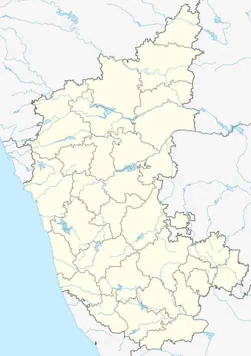
Kataraki
Katarki | |
|---|---|
Village | |
 Kataraki  Kataraki | |
| Coordinates: 16°14′41″N 075°29′20″E / 16.24472°N 75.48889°E | |
| Country | |
| State | Karnataka |
| District | Bagalkot district |
| Taluka | Bilagi |
| Languages | |
| • Official | Kannada |
| Time zone | UTC+5:30 (IST) |
Kataraki is a panchayat village in the southern state of Karnataka, India.[1][2] Administratively, kataraki under Bilagi Taluka of Bagalkot District in Karnataka.[2] The village of Kataraki was a mandal panchayat including 7 villages. The village is 5 km from to Kaladgi which was a district place in British reign and known for its fruit gardens, 24 km by road east of Mudhol and 29 km by road southwest of the town of Bilagi, and 35 km from Bagalkot. Katarki is on the north shore of the Ghataprabha River. There is famous temple called Ramalingeshwara on the banks of the Ghataprabha River and Patri Basaveshwara temple is there.
Divisions
The Kataraki gram panchayat oversees three villages: Katarki, Lingapur (S.K.) and Shiraguppi.[2]
References
- ↑ 2001 Census Village code = 138100, "2001 Census of India: List of Villages by Tehsil: Karnataka" (PDF). Registrar General & Census Commissioner, India. p. 53. Archived (PDF) from the original on 13 November 2012.
- 1 2 3 2011 Census Village code = 598511, "Reports of National Panchayat Directory: List of Census Villages mapped for: Kataraki Gram Panchayat, Bilagi, Bagalkot, Karnataka". Ministry of Panchayati Raj, Government of India. Archived from the original on 13 February 2013. Retrieved 13 February 2013.
External links
- "Map of Bilagi Taluka" (PDF). Bagalkot District Administration. Archived from the original (PDF) on 11 February 2013.
This article is issued from Wikipedia. The text is licensed under Creative Commons - Attribution - Sharealike. Additional terms may apply for the media files.