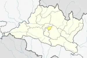
Katunje
कटुन्जे | |
|---|---|
Village of Suryabinayak Municipality | |
 Katunje Location in Nepal | |
| Coordinates: 27°40′N 85°25′E / 27.66°N 85.41°E | |
| Country | |
| Province | Bagmati Province |
| District | Bhaktapur |
| Population (2011) | |
| • Total | 19,497 |
| • Religions | Hindu |
| Time zone | UTC+5:45 (Nepal Time) |
Katunje (Nepali: कटुन्जे) is a village and former Village Development Committee that is now part of Suryabinayak Municipality in Bagmati Province of central Nepal. At the time of the 2011 Nepal census it had a population of 19,497 with 4,692 houses in it.[1]
Many with surname KC (KHATRI), Dhungel, and Timilsena have lived in Katunje for generations. Previously rural, now Katunje has witnessed a housing explosion with extension of the Koteswar Suryabinayak highway into a 6 lane highway.
References
- ↑ "Archived copy" (PDF). Archived from the original (PDF) on 2013-09-27. Retrieved 2013-08-22.
{{cite web}}: CS1 maint: archived copy as title (link)
This article is issued from Wikipedia. The text is licensed under Creative Commons - Attribution - Sharealike. Additional terms may apply for the media files.

