Khawina | |
|---|---|
Former settlement | |
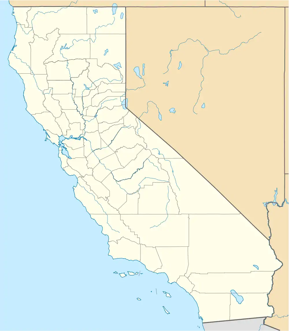 Khawina Location in California | |
| Coordinates: 38°59′55″N 122°40′38″W / 38.99861°N 122.67722°W | |
| Country | United States |
| State | California |
| County | Lake County |
| Elevation | 1,362 ft (415 m) |
Khawina is a former Pomo settlement in Lake County, California,[2] one of a number of Pomo settlements catalogued by Stephen Powers.[3] It was located at Sulphur Bank,[2] at an elevation of 1362 feet (415 m).[1]
References
- 1 2 U.S. Geological Survey Geographic Names Information System: Sulphur Bank
- 1 2 U.S. Geological Survey Geographic Names Information System: Khawina, California
- ↑ Hodge, Frederick Webb, ed. (1910), Handbook of American Indians North of Mexico, Part 2, Bulletin of the Smithsonian Institution Bureau of American Ethnology, vol. 30, Washington, Govt. print. off, p. 277
Municipalities and communities of Lake County, California, United States | ||
|---|---|---|
| Cities |  Lake County map | |
| CDPs | ||
| Unincorporated communities | ||
| Indian reservations | ||
| Former settlements | ||
This article is issued from Wikipedia. The text is licensed under Creative Commons - Attribution - Sharealike. Additional terms may apply for the media files.