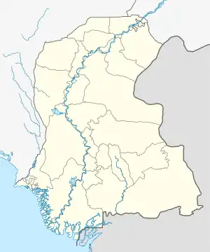
Khipro | |
|---|---|
 Milad Shareef rally in Khipro town | |
 Khipro  Khipro | |
| Coordinates: 25°49′23″N 69°22′37″E / 25.823°N 69.377°E | |
| Country | |
| Province | Sindh |
| Area | |
| • Total | 5,933 km2 (2,291 sq mi) |
| Elevation | 28 m (92 ft) |
| Population | |
| • Total | 332,833 |
| • Density | 56/km2 (150/sq mi) |
| Time zone | UTC+5 (PST) |
| Calling code | 235 |
Khipro (Urdu: کھپرو, Sindhi :کپرو ) is a tehsil of Sanghar district. Its headquarters are in Khipro town. It is bounded to the east by India.
History
No clear reference describes the origin of the word Khipro. as of the word of mouth of population of Khipro City, its one of the historical places in White Thar,
Transport
The nearest airport is Sindhri Tharparkar Airport (IATA: MPD) .
Geography
Khipro is the biggest taluka of Pakistan. It consists of 1,300,776 acres (526,405 ha) acres of which 1,109,129 are desert, 11,475 forest and 191,647 agriculture.
Economy
Its primary industry is agriculture. Cotton, Wheat, Sugar cane, and Chilies are major crops.
Demographics
Khipro taluk has a population of 332,833 living in 63,642 households. Khipro has a sex ratio of 919 females per 1000 males and a literacy rate of 33.75%: 44.99% for males and 21.53% for females. 15.32% of the population lives in urban areas.[1]
91.39% of the taluk spoke Sindhi, 4.18% Urdu and 1.08% Punjabi as their first language.[1]
Culture
The city is a mixture of Hindu, Muslim and other communities. In the Muslims most of the peoples belongs to Lashari, Gajju ‘ (mangrio)Hingorja, Chohan, Jatt, Bozdar, Malik,Qaim khani, Syed, Lohar, Qureshi, Baloch, Laghari, Rajar, Dars, Hingorjan, Khaskheli, Samejo, Junejo communities and in Hindus most of the peoples belongs to Goswami, Lohana, Khatri, Malhi, Bheel, Kolhi, Guriro, Oad, (Sodha) Rajput and others communities.
See also
References
- 1 2 3 "District-wise Tables - Census 2017 Final Results". pbs.gov.pk. Pakistan Bureau of Statistics. 2017.