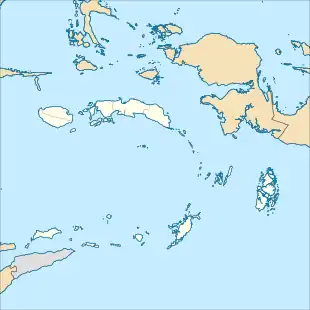
 Kobroor Topographic locator map of the Maluku Islands | |
| Geography | |
|---|---|
| Location | Southeast Asia |
| Coordinates | 6°7′S 134°36′E / 6.117°S 134.600°E |
| Archipelago | Aru Islands |
| Administration | |
| Province | |
| Regency | Aru Islands Regency |
| Additional information | |
| Time zone | |
Kobroor is an island in the Aru Islands in the Arafura Sea. It is situated in the Maluku Province, Indonesia. Its area is 1723 km². The other main islands in the archipelago are Tanahbesar (also called Wokam), Kola, Maikoor, Koba and Trangan.[1]
References
- ↑ O'Connor, Sue; Spriggs, Matthew; Veth, Peter (2005). "1". The Archaeology of The Aru Islands. Canberra: The Australian National University. p. 2.
This article is issued from Wikipedia. The text is licensed under Creative Commons - Attribution - Sharealike. Additional terms may apply for the media files.