Kodema
Кодема | |
|---|---|
 | |
 Flag  Coat of arms | |
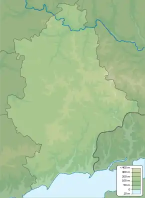 Kodema Location of Kodema within Ukraine 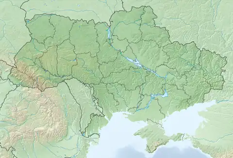 Kodema Kodema (Ukraine) | |
| Coordinates: 48°28′28″N 38°05′27″E / 48.474444°N 38.090833°E | |
| Country | |
| Oblast | Donetsk Oblast |
| Raion | Bakhmut Raion |
| Hromada | Svitlodarska |
| Founded Status | 1795 |
| Area | |
| • Total | 2.96 km2 (1.14 sq mi) |
| Elevation | 136 m (446 ft) |
| Population | |
| • Total | 590 |
| • Density | 200/km2 (520/sq mi) |
| Time zone | UTC+2 (EET) |
| • Summer (DST) | UTC+3 (EEST) |
| Postal code | 84572 |
| Area code | +380 5547 |
Kodema (Ukrainian: Кодема; Russian: Кодема) is a village in Bakhmut Raion (district) in Donetsk Oblast of eastern Ukraine, at about 61.0 kilometres (37.9 mi) northeast by north from the centre of Donetsk city.
The village came under attack by Russian forces in 2022, during the Russian invasion of Ukraine.[2]

A church
References
- ↑ Distribution of the population by native language on ukrcensus.gov.ua
- ↑ Karolina Hird; George Barros; Layne Philipson; Frederick W. Kagan (6 September 2022). "Russian Offensive Campaign Assessment, September 6". understandingwar.org. ISW. Retrieved 8 September 2022.
Russian sources claimed that Wagner Group fighters established full control over the entirety of Kodema (13km southeast of Bakhmut) by the end of the day on September 6, and a Russian military correspondent posted footage of soldiers moving freely around streets in Kodema
External links
![]() Media related to Kodema at Wikimedia Commons
Media related to Kodema at Wikimedia Commons
This article is issued from Wikipedia. The text is licensed under Creative Commons - Attribution - Sharealike. Additional terms may apply for the media files.