Kolgrov | |
|---|---|
Village | |
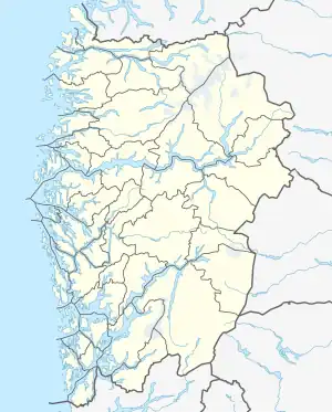
 Kolgrov Location of the village  Kolgrov Kolgrov (Norway) | |
| Coordinates: 61°00′25″N 04°40′10″E / 61.00694°N 4.66944°E | |
| Country | Norway |
| Region | Western Norway |
| County | Vestland |
| District | Sogn |
| Municipality | Solund Municipality |
| Elevation | 4 m (13 ft) |
| Time zone | UTC+01:00 (CET) |
| • Summer (DST) | UTC+02:00 (CEST) |
| Post Code | 6928 Kolgrov |
Kolgrov is a village in Solund Municipality in Vestland county, Norway. The village is located on the western coast of the island of Ytre Sula, and it is one of the largest population centres on the island. The village sits about 12 kilometres (7.5 mi) directly southwest of the municipal centre of Hardbakke and about 15 kilometres (9.3 mi) northwest of the village of Byrknes in Gulen (across the Sognesjøen).
Husøy Church is located on the north side of Kolgrov. Historically, the church was located on the island of Utvær until 1719. It was then moved to the small island of Husøy (just off the coast of Kolgrov). In 1896, the church was moved to its present site.[2]
References
- ↑ "Kolgrov" (in Norwegian). yr.no. Retrieved 2013-12-16.
- ↑ Store norske leksikon. "Husøy i Solund kommune" (in Norwegian). Retrieved 2013-12-16.
This article is issued from Wikipedia. The text is licensed under Creative Commons - Attribution - Sharealike. Additional terms may apply for the media files.