Kotel Municipality | |
|---|---|
Municipality | |
.png.webp) Location of Kotel Municipality in Sliven Province | |
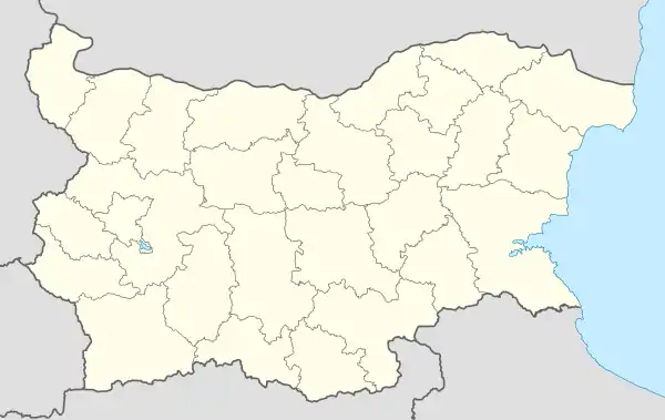
 Kotel Municipality Location of Kotel Municipality in Bulgaria | |
| Coordinates: 42°53′00″N 26°27′00″E / 42.88333°N 26.45000°E | |
| Country | |
| Province | Sliven Province |
| Capital | Kotel |
| Area | |
| • Total | 858.306 km2 (331.394 sq mi) |
| Population (2011) | |
| • Total | 19,391 |
| • Density | 23/km2 (59/sq mi) |
| Postal code | 8970 |
| Area code | 0453 |
Kotel Municipality (Bulgarian: Община Котел) is a municipality in the Sliven Province of Bulgaria.
Demography
Ethnic composition of Kotel Municipality
Gypsies/Romani (24.7%)
Turks (29.87%)
Bulgarians (54.66%)
No identification (8.14%)
Other (1.05%)
At the 2011 census, the population of Kotel was 19,391. Most of the inhabitants were either Bulgarians (36.22%), Turks (29.87%), or Gypsies/Romani (24.7%).[1][2] 8.14% of the population's ethnicity was unknown.
Villages
In addition to the capital town of Kotel, there are 21 villages in the municipality:
|
References
- ↑ "Distribuția pe vârste a populației localităților Bulgariei". National Institute of Statistics of Bulgaria. Retrieved 20 June 2019.
- ↑ "Distribuția etnică a populației localităților Bulgariei". National Institute of Statistics of Bulgaria. Archived from the original on 3 March 2016. Retrieved 20 June 2019.
This article is issued from Wikipedia. The text is licensed under Creative Commons - Attribution - Sharealike. Additional terms may apply for the media files.