Kotwa Airport | |||||||||||
|---|---|---|---|---|---|---|---|---|---|---|---|
| Summary | |||||||||||
| Airport type | Military | ||||||||||
| Location | Kotwa | ||||||||||
| Elevation AMSL | 2,450 ft / 747 m | ||||||||||
| Coordinates | 16°59′05″S 32°40′20″E / 16.98472°S 32.67222°E | ||||||||||
| Map | |||||||||||
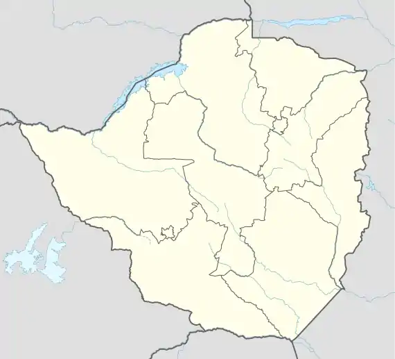 FVOT Location of the airport in Zimbabwe | |||||||||||
| Runways | |||||||||||
| |||||||||||
Kotwa Airport (ICAO: FVOT) is a military airport in Kotwa, Mashonaland East province, Zimbabwe.
See also
References
- ↑ Airport information for FVOT at Great Circle Mapper.
- ↑ "Airport information for Kotwa Airport". World Aero Data. Archived from the original on 5 March 2019.
{{cite web}}: CS1 maint: unfit URL (link) Data current as of October 2006. - ↑ Google Maps - Kotwa
External links
This article is issued from Wikipedia. The text is licensed under Creative Commons - Attribution - Sharealike. Additional terms may apply for the media files.