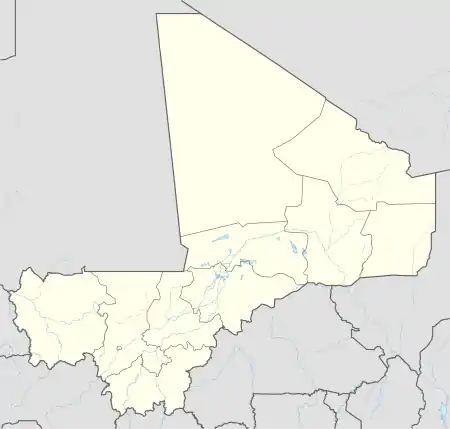
Koumantou | |
|---|---|
Commune and town | |
 Koumantou Location in Mali | |
| Coordinates: 11°24′N 7°15′W / 11.400°N 7.250°W | |
| Country | |
| Region | Sikasso Region |
| Cercle | Bougouni Cercle |
| Population (2009)[1] | |
| • Total | 51,348 |
| Time zone | UTC+0 (GMT) |
Koumantou is a commune and town in Mali, in the Cercle of Bougouni in the Sikasso Region. It is located near the Ivorian border.
The commune includes 38 villages spread over 1268 km². As of 2009 the commune had a population of 51,348.[2] The commune's economy is heavily agricultural, relying particularly on millet, corn, sorghum, peanuts, and cotton. The Compagnie malienne pour le développement du textile (CMDT) has a cotton-processing factory located in the town.
A festival of music and traditional danse, organized by the Association for the Development of the Commune of Koumantou (ADAKOM), was held from 19 to 22 May 2005, in the villages of Koumantou, Niamala, and Kôla. The festival celebrated such traditional instruments as the buru, mpolon, and balafon.
See also
References
- This article began as a translation of the corresponding article from the French Wikipedia, accessed December 17, 2005.
- ↑ "Archived copy" (PDF). Archived from the original (PDF) on July 27, 2012. Retrieved November 24, 2013.
{{cite web}}: CS1 maint: archived copy as title (link) - ↑ "Archived copy" (PDF). Archived from the original (PDF) on July 27, 2012. Retrieved November 24, 2013.
{{cite web}}: CS1 maint: archived copy as title (link)
11°25′N 6°50′W / 11.417°N 6.833°W
