Kunkuri | |
|---|---|
Town | |
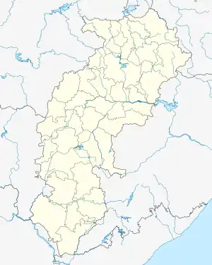 Kunkuri Location in Chhattisgarh, India 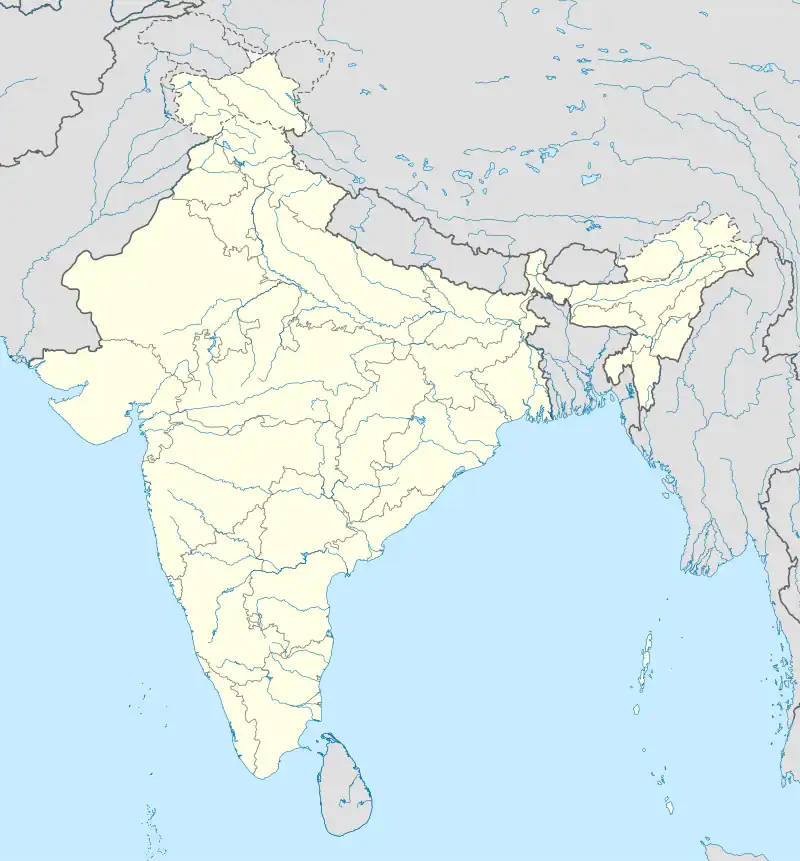 Kunkuri Kunkuri (India) | |
| Coordinates: 22°45′N 83°57′E / 22.75°N 83.95°E | |
| Country | |
| State | Chhattisgarh |
| District | Jashpur |
| Elevation | 468 m (1,535 ft) |
| Population (2011) | |
| • Total | 13,846 |
| Languages | |
| • Official | Kurukh |
| Time zone | UTC+5:30 (IST) |
| PIN | 496225 |
| Vehicle registration | CG |
Kunkuri is a town in Jashpur District of Chhattisgarh, India. It is located 28 KM towards west from District headquater Jashpur Nagar.
Geography
Kunkuri is located at 22°45′N 83°57′E / 22.75°N 83.95°E.[1] It has an average elevation of 468 m (1,535 ft).
Transport
Three roads out of this township lead to the Bihar, Jharkhand and Odisha states of India. It is situated at the intersection of NH-78 and NH-43.
Demographics
Per the 2011 census, the population of Kunkuri town is 13,846.[2]
References
External links
This article is issued from Wikipedia. The text is licensed under Creative Commons - Attribution - Sharealike. Additional terms may apply for the media files.