| La Peñota | |
|---|---|
.JPG.webp) | |
| Highest point | |
| Elevation | 1,945 m (6,381 ft)[1] |
| Coordinates | 40°44′53″N 4°5′57″W / 40.74806°N 4.09917°W |
| Geography | |
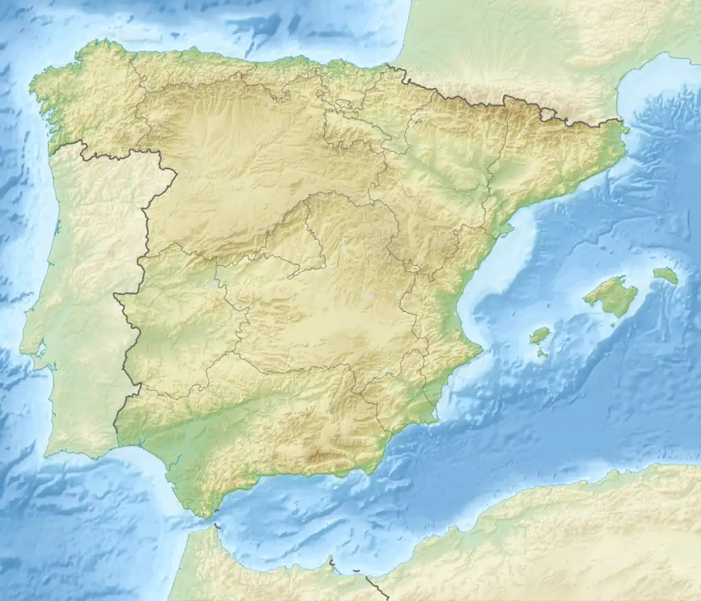
 La Peñota Spain | |
| Location | El Espinar, Los Molinos |
| Parent range | Sierra de Guadarrama |
La Peñota (Spanish pronunciation: [la peˈɲota]) is a mountain of the Sierra de Guadarrama in the centre of the Iberian Peninsula.
The peak tops at 1,945 metres above sea level. It forms part of the border between the Spanish provinces of Segovia and Madrid, most specifically, the municipalities of El Espinar and Los Molinos, respectively.[2][1]
References
This article is issued from Wikipedia. The text is licensed under Creative Commons - Attribution - Sharealike. Additional terms may apply for the media files.