| Lago La Plata | |
|---|---|
 La Plata Lake from Guadiana barrio | |
 Lago La Plata | |
| Location | Naranjito / Toa Alta / Bayamón municipalities, Puerto Rico |
| Coordinates | 18°20′N 66°14.2′W / 18.333°N 66.2367°W |
| Type | reservoir |
| Basin countries | Puerto Rico |
| Surface area | 1.56 sq mi (4.05 km²) |
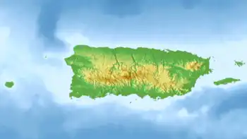
Lago La Plata is a lake located between the municipalities of Naranjito, Toa Alta, and Bayamón in Puerto Rico. The lake was created in 1973 and serves as a reservoir for potable water.[1]
The lake receives flow from the La Plata River and can be used for fishing.
See also
References
- ↑ Soler-López, Luis R. "Sedimentation Survey of Lago La Plata, Puerto Rico, July 2006". USGS National Geologic Map Database. Retrieved 23 February 2019.
External links
This article is issued from Wikipedia. The text is licensed under Creative Commons - Attribution - Sharealike. Additional terms may apply for the media files.