La Tour-du-Crieu | |
|---|---|
.JPG.webp) The church in La Tour-du-Crieu | |
 Coat of arms | |
Location of La Tour-du-Crieu | |
 La Tour-du-Crieu 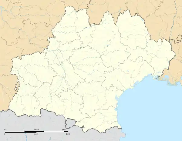 La Tour-du-Crieu | |
| Coordinates: 43°06′17″N 1°39′18″E / 43.1047°N 1.655°E | |
| Country | France |
| Region | Occitania |
| Department | Ariège |
| Arrondissement | Pamiers |
| Canton | Pamiers-2 |
| Government | |
| • Mayor (2020–2026) | Jean Claude Combres[1] |
| Area 1 | 10.28 km2 (3.97 sq mi) |
| Population | 3,246 |
| • Density | 320/km2 (820/sq mi) |
| Time zone | UTC+01:00 (CET) |
| • Summer (DST) | UTC+02:00 (CEST) |
| INSEE/Postal code | 09312 /09100 |
| Elevation | 297–341 m (974–1,119 ft) (avg. 310 m or 1,020 ft) |
| 1 French Land Register data, which excludes lakes, ponds, glaciers > 1 km2 (0.386 sq mi or 247 acres) and river estuaries. | |
La Tour-du-Crieu (French pronunciation: [la tuʁ dy kʁijø]; Occitan: La Tor del Criu) is a commune in the Ariège department in southwestern France.
Population
Inhabitants of La Tour-du-Crieu are called Critouriens in French.
| Year | Pop. | ±% p.a. |
|---|---|---|
| 1968 | 745 | — |
| 1975 | 1,162 | +6.56% |
| 1982 | 1,640 | +5.05% |
| 1990 | 2,011 | +2.58% |
| 1999 | 1,978 | −0.18% |
| 2007 | 2,333 | +2.08% |
| 2012 | 2,863 | +4.18% |
| 2017 | 3,167 | +2.04% |
| Source: INSEE[3] | ||
See also
References
- ↑ "Répertoire national des élus: les maires" (in French). data.gouv.fr, Plateforme ouverte des données publiques françaises. 13 September 2022.
- ↑ "Populations légales 2021". The National Institute of Statistics and Economic Studies. 28 December 2023.
- ↑ Population en historique depuis 1968, INSEE
Wikimedia Commons has media related to La Tour-du-Crieu.
This article is issued from Wikipedia. The text is licensed under Creative Commons - Attribution - Sharealike. Additional terms may apply for the media files.