| Lake Rotokauri | |
|---|---|
 Lake Rotokauri | |
| Location | North Island |
| Coordinates | 37°45′45″S 175°11′45″E / 37.76250°S 175.19583°E |
| Type | peat |
| Primary inflows | Numerous drains including Te Rapa/Rotokauri and Hamilton Zoo drains |
| Primary outflows | Ohote Stream |
| Catchment area | 9 km2 (2,200 acres) |
| Basin countries | New Zealand |
| Max. length | 1.2 km (0.75 mi) |
| Max. width | 0.8 km (0.50 mi) |
| Surface area | 77 hectares (190 acres) (open water) |
| Max. depth | 4 metres (13 ft) |
| Surface elevation | 24 metres (79 ft) |
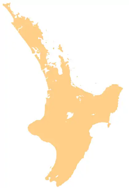
Lake Rotokauri is located approximately 7 km to the northwest of Hamilton, New Zealand.[1] It is a peat lake, and is one of the Waipa Peat lakes.
The lake has a maximum depth of four metres and the open water covers approximately 77 hectares.[2] Lake Rotokauri drains into the Waipā River via the Ohote Stream.[2]
The lake catchment area has a mixture of land uses including residential, industrial and pastoral.[3]
Etymology
See also
References
- ↑ "Lake Rotokauri Management Plan" (PDF). Hamilton City Council.
- 1 2 "Lake Rotokauri". Waikato Regional Council. Retrieved 25 December 2018.
- ↑ "Lake Rotokauri – Databases – Tools & Resources – LERNZ Home". LERNZ – Lake Ecosystem Research New Zealand. Retrieved 26 December 2018.
- ↑ Reed, A.W. (1975). Place names of New Zealand. Wellington: A.H. & A.W. Reed. p. 365.
This article is issued from Wikipedia. The text is licensed under Creative Commons - Attribution - Sharealike. Additional terms may apply for the media files.