| Lakulaku River | |
|---|---|
 | |
 | |
| Location | |
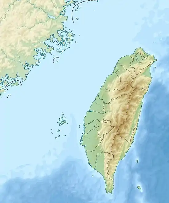
| Country | Taiwan |
| Physical characteristics | |
| Mouth | |
• location | Xiuguluan River |
• coordinates | 23°18′54″N 121°19′55″E / 23.315°N 121.332°E |
| Length | 53.76 km (33.40 mi) |
| Basin size | 628.40 km2 (242.63 sq mi) |
| Discharge | |
| • maximum | 8,720 m3/s (308,000 cu ft/s) |
| Basin features | |
| River system | Xiuguluan River basin |
The Lakulaku River (Chinese: 拉庫拉庫溪; pinyin: Lākùlākù Xī), also called Lekuleku River or Lele River (樂樂溪), is a tributary of the Xiuguluan River in Taiwan.[1][2] It flows through Hualien County for 54 kilometres (34 mi) before joining Xiuguluan River in Yuli, Hualien.[1]
See also
References
- 1 2 "Xiuguluan River basin". River System Introduction (in Chinese). The Ninth River Management Office, Water Resources Agency, Ministry of Economic Affairs. Archived from the original on 5 March 2016. Retrieved 5 May 2016.
- ↑ "GeoNames Search". Geographic Names Database. National Geospatial-Intelligence Agency, USA. Retrieved 5 May 2016.
Wikimedia Commons has media related to Lakulaku River.
This article is issued from Wikipedia. The text is licensed under Creative Commons - Attribution - Sharealike. Additional terms may apply for the media files.