Lampertswalde | |
|---|---|
 Coat of arms | |
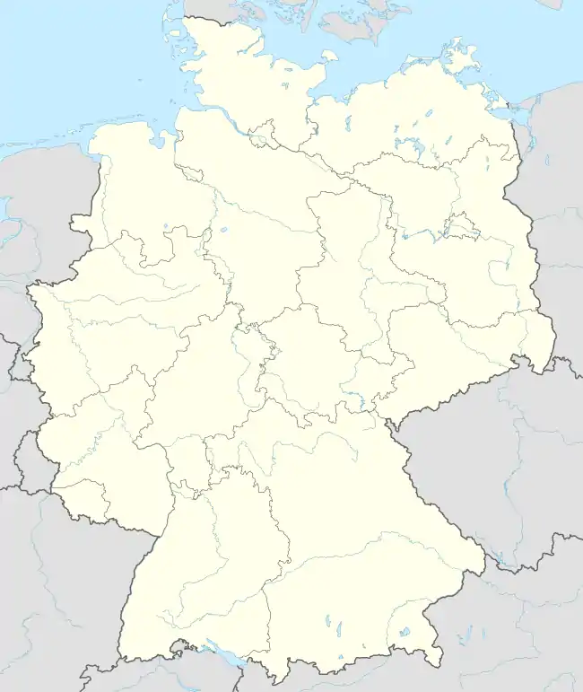
Location of Lampertswalde within Meißen district  | |
 Lampertswalde 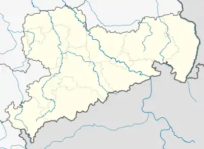 Lampertswalde | |
| Coordinates: 51°19′N 13°40′E / 51.317°N 13.667°E | |
| Country | Germany |
| State | Saxony |
| District | Meißen |
| Municipal assoc. | Schönfeld |
| Government | |
| • Mayor (2019–26) | René Venus[1] |
| Area | |
| • Total | 63.52 km2 (24.53 sq mi) |
| Elevation | 152 m (499 ft) |
| Population (2021-12-31)[2] | |
| • Total | 2,492 |
| • Density | 39/km2 (100/sq mi) |
| Time zone | UTC+01:00 (CET) |
| • Summer (DST) | UTC+02:00 (CEST) |
| Postal codes | 01561 |
| Dialling codes | 035248 |
| Vehicle registration | MEI, GRH, RG, RIE |
| Website | www.gemeinde-lampertswalde.de |
Lampertswalde is a municipality in the district of Meißen, in Saxony, Germany.
Municipality subdivisions
Lampertswalde includes the following subdivisions:
- Adelsdorf (formerly Dorf der Jugend)
- Blochwitz
- Brockwitz
- Brößnitz
- Mühlbach
- Oelsnitz
- Niegeroda
- Quersa
- Schönborn
- Weißig am Raschütz
References
- ↑ Wahlergebnisse 2019, Freistaat Sachsen, accessed 10 July 2021.
- ↑ "Bevölkerung des Freistaates Sachsen nach Gemeinden am 31. Dezember 2021" (XLS) (in German). Statistisches Landesamt des Freistaates Sachsen. 2022.
Towns and municipalities in Meissen (district) | ||
|---|---|---|
Coat of arms | ||
This article is issued from Wikipedia. The text is licensed under Creative Commons - Attribution - Sharealike. Additional terms may apply for the media files.